

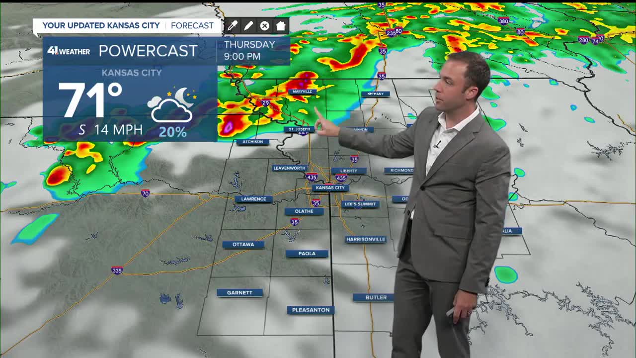



UPDATE | The National Weather Service expired the severe thunderstorm warnings for counties in the Kansas City area.
—
UPDATE | The National Weather Service issued a severe thunderstorm warning for Jackson, Clay. Platte, Clinton and Buchanan counties Missouri and Johnson and Wyadotte counties in Kansas until 11:45 p.m.
At 11:03 p.m., severe thunderstorms were located along a line extending from near Lake Waukomis to Riverside to near Bonner Springs, according to the National Weather Service.
The storms were moving at 45 mph with 60 mph wind gusts.
—
UPDATE | The National Weather Service issued a severe thunderstorm watch until 11 p.m. for Leavenworth and Wyandotte counties in Kansas and in Clay, Platte and Clinton counties in Missouri.
—
The National Weather Service has issued a severe thunderstorm watch for counties in northeast Kansas and northwest Missouri.
The watch is in effect until 11 p.m. for Kansas' Atchison and Doniphan counties, as well as Missouri's Andrew, Atchison, Buchanan, Holt and Nodaway counties.
A severe thunderstorm watch has been issued for parts of Kansas, Missouri and Nebraska until 11 PM CDT pic.twitter.com/xxUfqs6r5j
— NWS Kansas City (@NWSKansasCity) April 9, 2026
KSHB 41's Wes Peery says storms will move into the watch area after 7 p.m. that are capable of large hail and damaging winds.
Additional weather updates can be found here.
—
![020626_KSHB_Image_NXA_Web_Standard Cube[88].jpg](https://ewscripps.brightspotcdn.com/dims4/default/0ead409/2147483647/strip/true/crop/300x225+0+13/resize/960x720!/format/webp/quality/90/?url=http%3A%2F%2Fewscripps-brightspot.s3.amazonaws.com%2F8f%2F6c%2Ffad8bd2346c5a4d4ead793017d4a%2F020626-kshb-image-nxa-web-standard-cube88.jpg)