

Hope you’re having a great week so far, weather blog readers! After all, it’s only Monday.
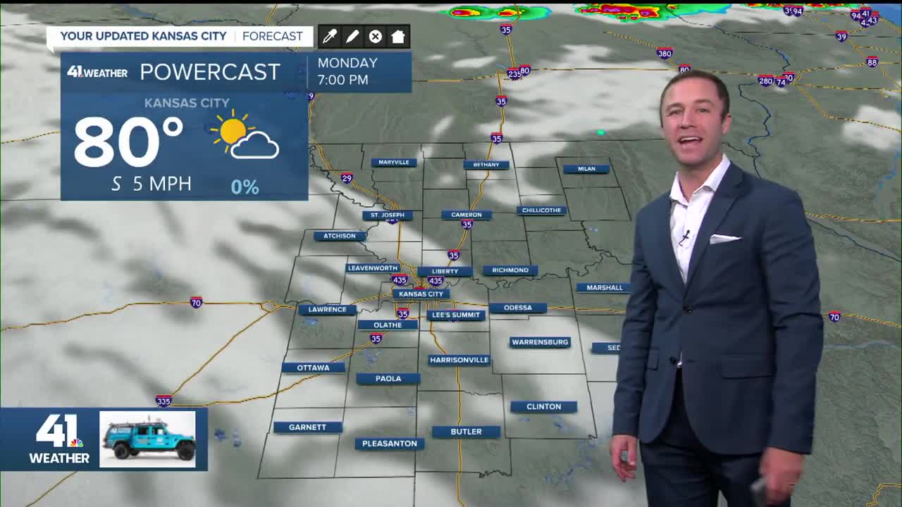
Fall officially arrived at 1:19 p.m. Monday, and by then, temperatures had already climbed into the lower to middle 80s. This evening stays mild, with readings holding in the 70s before slipping into the 60s by morning.
Two areas of storms, one from the north and one from the west, will try to converge on Kansas City by early Tuesday morning. These storms could bring strong wind gusts and hail.
The Storm Prediction Center has placed parts of the region under a Level 1 (marginal) and Level 2 (slight) risk.

There are signals for a stronger push of rain and storms lasting much of the day Tuesday, roughly between 7 a.m. and 4 p.m. Showers may linger outside that window, but that’s when rain looks most widespread.

Temperatures on Tuesday will struggle, hovering near 65° all day. Wednesday looks similar as the large storm system wraps up and moves through.
On the back side, expect a few lighter, occasional showers along with a chilly breeze, just enough to give the day a distinctly “fall” feel.
Rainfall totals look healthy, though flooding issues are unlikely. Unfortunately, this won’t erase the several-inch deficit left from August, which may shorten the fall foliage season this year.

By Thursday, we’ll hit the jackpot: a picture-perfect fall day with morning lows in the 50s, afternoon highs in the upper 70s, a northerly breeze and sunny skies.
Heading into the weekend, conditions turn warmer and sunnier. Mornings will stay fall-like in the 50s, but afternoon highs climb back to 80° to 85° Friday through much of next week.

Not quite summer, but not very fall-like either!
—
