




KANSAS CITY, Mo. — Multiple rounds of severe storms rolled through parts of the Kansas City area overnight into early Tuesday morning.
RELATED | KSHB 41 weather alerts
RELATED | KSHB 41 interactive radar
RELATED | KSHB 41 Weather
RELATED | Latest KSHB 41 Weather Blog
Should KSHB 41 break into regular coverage for important weather information, you can also watch in the video player below.
—
UPDATE, 10:28 a.m. | The Douglas County emergency manager is looking for residents to send in images and reports of storm damage.
Please send reports of last night's storm damage to EM, DGCO. We need pictures, location(s), and size/measurements (e.g., tree limbs or hail). EM3 06/09 0915 pic.twitter.com/aE0oeziyYq
— Douglas Co. EM (@dgcoem) June 9, 2026
UPDATE, 7:44 a.m. | KSHB 41 meteorologist Lauren Rainson says the second round of storms has been quickly dwindling.
Tuesday morning- The second round of storms has been quickly dwindling. Watch for pockets of heavier downpours, lightning, and gusty winds. @KSHB41 #kcwx #mowx #kswx pic.twitter.com/rzH7eWyynN
— Lauren Rainson (@LaurenRainson) June 9, 2026
UPDATE, 6:15 a.m. | Power outages have been reported throughout the area. Note that many Evergy outages are outside the KC metro near Topeka and Manhattan.
- Evergy | 1,254 outages, 47,216 customers
- BPU | 3 outages, 72 customers
- IPL | one outage, 7 customers
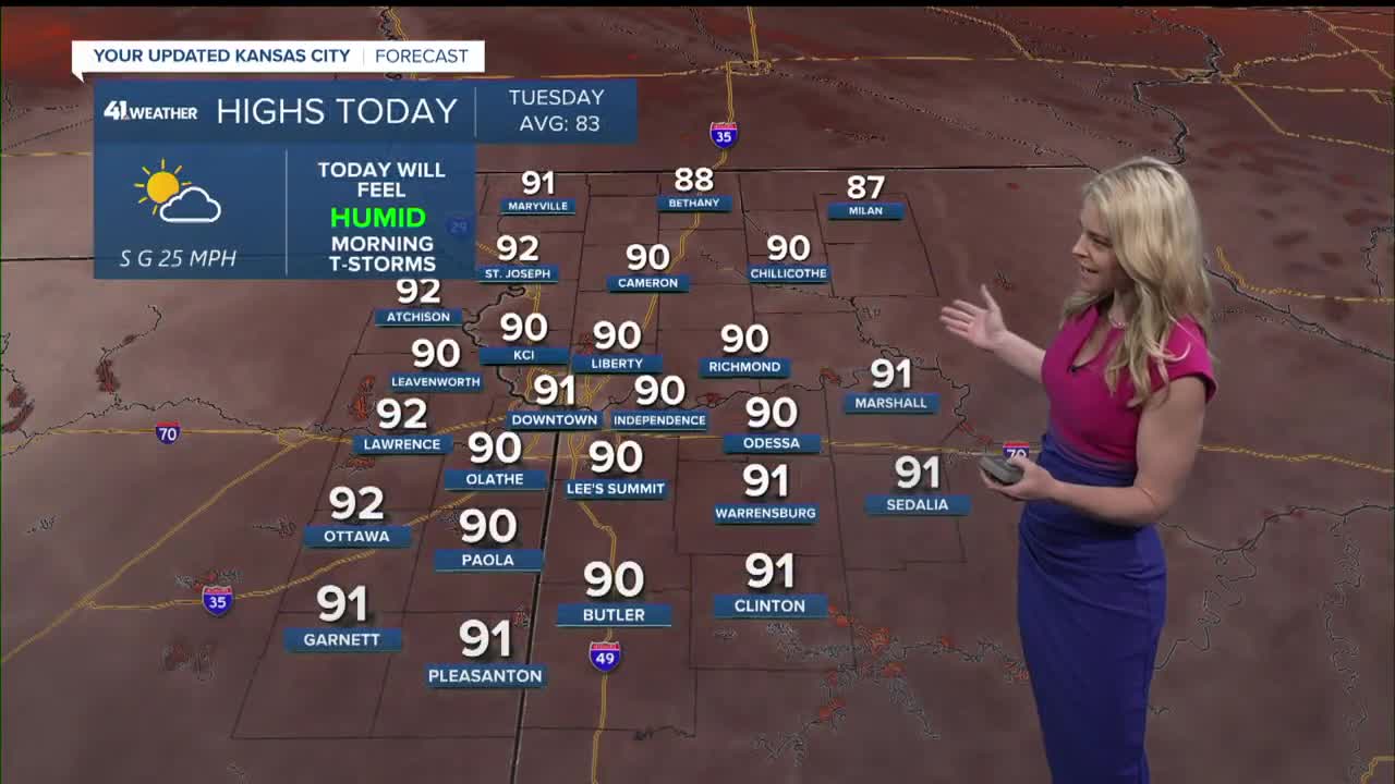
UPDATE, 5:40 a.m. | A heat advisory is in place for Tuesday afternoon and evening for the Kansas City metro.
A Heat Advisory is in effect for all of Missouri and eastern Kansas this afternoon and evening. Showers and storms are expected this morning, Wednesday, and Thursday. Strong to severe storms are possible mid week. #kswx #mowx pic.twitter.com/b9LXcSrxKg
— NWS Kansas City (@NWSKansasCity) June 9, 2026
UPDATE, 5:15 a.m. |The National Weather Service says periods of heavy rainfall may cause flooding in some areas.
Showers and storms continue to fester this morning, mainly along the Kansas Turnpike. Periods of heavy rainfall may cause flooding in low lying areas. Use caution if commuting this morning as ponding on the roadways is likely. #kswx pic.twitter.com/mgFwcsdWCI
— NWS Wichita (@NWSWichita) June 9, 2026
UPDATE, 5:10 a.m. | KSHB 41's Lauren Rainson says the next round of storms is headed toward Kansas City now.
The next round of storms is moving east in our direction. The KC Metro can expect this to arrive around rush hour. The severe threat is low, but watch for strong wind gusts and heavy downpours. @KSHB41 #kcwx #mowx #kswx pic.twitter.com/dABRr8j6QS
— Lauren Rainson (@LaurenRainson) June 9, 2026
UPDATE, 2:15 a.m. | Thousands of people are without power, according to the Evergy outage map.
UPDATE, 1:45 a.m. | KSHB 41's Wes Peery says the severe threat has ended for the Kansas side but remains in Missouri.
1:35AM TUE--Severe threat is over for the Kansas side, but remains south of I-70 in Missouri.
— Wes Peery (@WesWeather) June 9, 2026
60 mph wind gusts are possible as this line moves east, low tornado threat.#mowx #kswx #kcwx pic.twitter.com/mWO3jsqicU
UPDATE, 1 a.m. | A severe thunderstorm warning is in effect until 1:30 a.m. for the following counties in Kansas: Wyandotte, Miami, northern Linn, southwestern Leavenworth and Johnson. These counties in Missouri are also included: Cass, northwestern Bates and Jackson.
UPDATE, 12:15 a.m. | A tornado warning is in effect for parts of Douglas County, Kansas, until 12:30 a.m.
Tornado Warning including Lawrence KS, Eudora KS and Perry KS until 12:30 AM CDT pic.twitter.com/INbLt7Bw5e
— NWS Topeka (@NWSTopeka) June 9, 2026
UPDATE, 12:05 a.m. | The Kansas City area is included in a severe thunderstorm watch through 4 a.m. Tuesday, the National Weather Service said.
11:45 PM MON — Severe Thunderstorm Watch until 4 AM including the KC metro and areas south and east
— Wes Peery (@WesWeather) June 9, 2026
Storms arrive after 12:30 AM
️Damaging winds main threat, ️brief tornadoes aren't out of the question
Have a way to receive warnings overnight!#mowx #kswx #kcwx pic.twitter.com/Ei2KkIFVYN
—
![020626_KSHB_Image_NXA_Web_Standard Cube[88].jpg](https://ewscripps.brightspotcdn.com/dims4/default/0ead409/2147483647/strip/true/crop/300x225+0+13/resize/960x720!/format/webp/quality/90/?url=http%3A%2F%2Fewscripps-brightspot.s3.amazonaws.com%2F8f%2F6c%2Ffad8bd2346c5a4d4ead793017d4a%2F020626-kshb-image-nxa-web-standard-cube88.jpg)