

KANSAS CITY, Mo. — Shortly after 11 p.m., the severe thunderstorm warnings for Clay, Wyandotte and Platte counties expired.
UPDATE, 11:08 p.m. | The severe thunderstorm warning for Leavenworth has expired.
UPDATE, 10:45 p.m. | The National Weather Service has issued a severe thunderstorm warning for Wyandotte, Leavenworth, Clay and Platte counties until 11:15 p.m.
Severe Thunderstorm Warning including Leavenworth KS, Gladstone MO, Lansing KS until 11:15 PM CDT pic.twitter.com/7qcY0PoEEj
— NWS Kansas City (@NWSKansasCity) June 25, 2021
A severe thunderstorm was spotted just before 10:45 p.m. in Lansing, moving east at 35 miles per hour, according to the NWS.
Hail and wind damage are expected.
The following cities are affected:
Leavenworth, Gladstone, Lansing, Smithville, Bonner Springs, Parkville, Platte City, Basehor, Riverside, Weatherby Lake, Kansas City, Lake Waukomis, Camden Point, Ferrelview, Platte Woods, Oakview, Northmoor, Houston Lake, Tracy and Fairmount.
UPDATE, 10:36 p.m. | The tornado warning covering south central Carroll, west central Saline and northeastern Lafayette counties is will expire at 10:45 p.m.
The National Weather Service said "gusty winds" still are possible. The severe thunderstorm watch will continue to be in effect until 3 a.m. for central, north central and west central Missouri.
UPDATE, 10:33 p.m. | The severe thunderstorm warning for the following counties in the Kansas City metro has expired:
- Wyandotte County
- Leavenworth County
- Southeastern Atchison County
- Clay County
- Southern Clinton County
- Ray County
- Southwestern Carroll County
- Southwestern Caldwell County
- Northwestern Lafayette County
- Platte County
- Northern Jackson County
UPDATE, 10:21 p.m. | A tornado warning has been issued for southwestern Carroll County, west central Saline County and northeastern Lafayette County until 10:45 p.m.
UPDATE, 9:54 p.m. | Flights are departing early from Kansas City International Airport to avoid incoming storms.
Flights from @KCIAirport are taking off early and avoiding the incoming storms.
— Wes Peery-41 Action News (@WesWeather) June 25, 2021
This one did a U-turn after take off #mowx #kcwx pic.twitter.com/Fy3y7QF1n7
UPDATE, 9:38 p.m. | More than 5,000 Evergy customers currently are without power.
Affected counties are north of the Kansas City metro. More than 450 customers in St. Joseph have reported outages.
UPDATE, 9: 36 p.m. | The Topeka Police Department has asked concert goers at the Country Stampede event to shelter in place as storms move through the area.
#countrystampede goers are asked to shelter in place due to lightning in the area. Seek shelter in your vehicle, trailer, camper, etc. @SnCoEmergency
— Topeka Police Department (@Topeka_Police) June 25, 2021
UPDATE, 9:34 p.m. | A severe thunderstorm warning is now in effect until 10:30 p.m. for the following areas: Kansas City, Missouri; Kansas City, Kansas; and Leavenworth, Kansas.
Severe Thunderstorm Warning including Kansas City MO, Kansas City KS, Leavenworth KS until 10:30 PM CDT pic.twitter.com/FKwWIaB8q8
— NWS Kansas City (@NWSKansasCity) June 25, 2021
UPDATE, 9:32 p.m. | 41 Action News Chief Meteorologist Gary Lezak reported a shelf cloud at Kansas City International Airport that could produce winds between 50 and 70 miles per hour.
A shelf cloud with the leading edge potentially producing 50 to 70 mph winds is at KCI Airport extending northeast to Near Chillicothe. This is moving into the KC metro area and is ahead of the Thunderstorms. We will be on live in two minutes and then at 10 on @41ActionNews pic.twitter.com/66STDM7HRW
— Gary Lezak (@glezak) June 25, 2021
UPDATE, 9:28 p.m. | Standing water and flooded roadways have been reported in Buchanan County.
A Nixle report issued shortly before 9:30 p.m. stated that there are "several roads" with standing water and "flooding from field to field."
USE CAUTION IN BUCHANAN COUNTY SEVERAL ROADS WITH STANDING WATER AND FLOODING FROM FIELD TO FIELD https://t.co/DXhNXVV0dr
— St. Joseph MO Police (@sjpdinfo) June 25, 2021
UPDATE, 9:19 p.m. | Baldwin City has reported tree limbs down on power lines.
Crews are currently cleaning up this tree at 10th and Elm. Please stay alert and aware of the weather this evening. pic.twitter.com/tELRt6mw6u
— Baldwin City KS Gov (@baldwincityks) June 25, 2021
UPDATE, 9:16 p.m. | The National Weather Service has issued a tornado warning for northeastern Grundy County and west central Sullivan County. It's in effect until 9:30 p.m.
A thunderstorm capable of producing a tornado was spotted around 9:12 p.m. near Spickard or Trenton, according to the NWS.
UPDATE, 9:11 p.m. | 41 Action News photojournalist Giovanni Garcia spotted a shelf cloud in St. Joseph.
Shelf cloud near St. Joseph.
— Giovanni G. Garcia (@giovanniggarcia) June 25, 2021
@41actionnews. pic.twitter.com/CAsqG4nSSp
UPDATE, 9:09 p.m. | Douglas County also is under a severe thunderstorm watch until 3 a.m.
Could be a noisy night, DgCo under Severe Thunderstorm Watch til 3am. We'll be monitoring while you get your beauty sleep. #kswx 6/24 9:08pm
— Douglas Co. EM (@dgcoem) June 25, 2021
UPDATE, 9: 04 p.m. | A severe thunderstorm warning has now been issued for Clay County.
Weather Alert
— Clay County MO Sheriff Emergency Management (@ClayCountyMO_EM) June 25, 2021
Severe Thunderstorm Warning for Clay Co. from 9:00 PM Thu until 10:00 PM Thu (CDT)
Other affected counties include:
- Northwestern Leavenworth County
- Atchison County
- Buchanan County
- Northern Clay County
- Clinton County
- Northwestern Ray County
- Southwestern Caldwell County
- Platte County
- Southwestern DeKalb County
The warning is in effect until 10 p.m.
UPDATE: 8:58 p.m. | A severe thunderstorm watch has been issued for the Kansas City area. It's in effect until 3 a.m.
A severe thunderstorm watch has been issued for parts of Illinois, Kansas and Missouri until 3 AM CDT pic.twitter.com/Q9YWYQvsJ8
— NWS Topeka (@NWSTopeka) June 25, 2021
41 Action News meteorologists Gary Lezak and Wes Peery provide updates as storms head toward the Kansas City area.
UPDATE, 8:19 p.m. | The threat of hail in the Kansas City metro has lessened as storm move closer to the area.
Some good news, the threat for very large hail has been dialed back a bit as storms move closer to KC
— Wes Peery-41 Action News (@WesWeather) June 25, 2021
UPDATE, 8:08 p.m. | A severe thunderstorm warning has been issued for Manhattan, Wamego and Saint George, Kansas, until 8:30 p.m.
Severe Thunderstorm Warning including Manhattan KS, Wamego KS, Saint George KS until 8:30 PM CDT pic.twitter.com/nCtlIwUStt
— NWS Topeka (@NWSTopeka) June 25, 2021
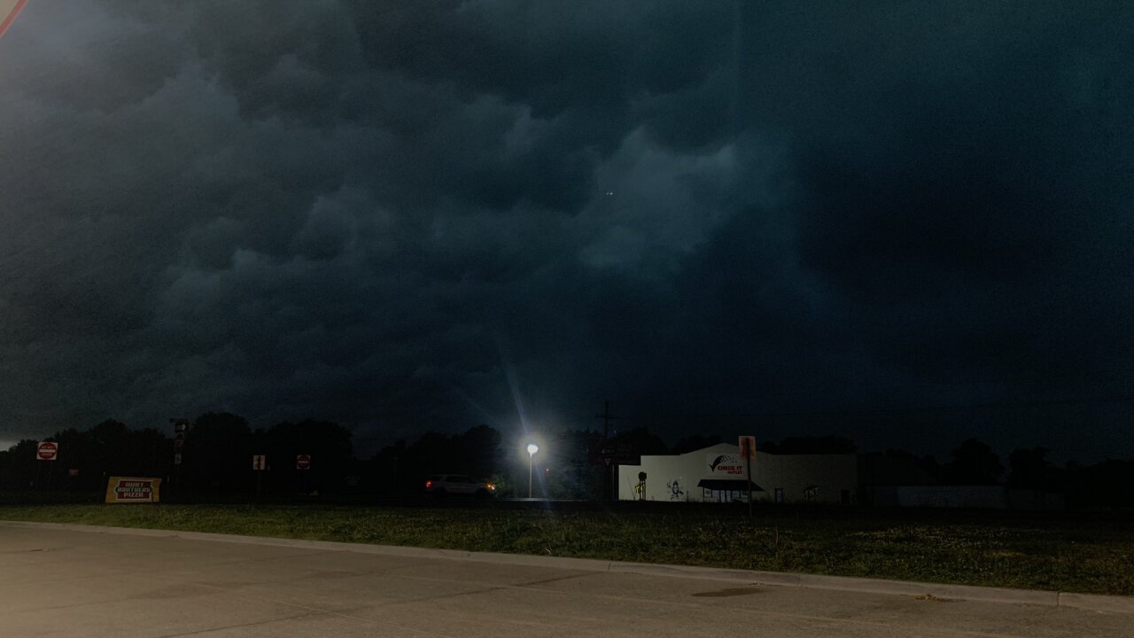
UPDATE, 8:04 p.m. | Ominous clouds have been spotted in St. Joseph as storms track closer to the Kansas City metro.
Sky got dark very quickly! Stopped near St. Joseph for gas as the storm line continues to move east across the Kansas City/St. Joseph area. @41actionnews pic.twitter.com/MjZcnICZP6
— Giovanni G. Garcia (@giovanniggarcia) June 25, 2021
Very ominous sky incoming to the #KC metro and St. Joseph #mowx #kcwx pic.twitter.com/xyEAHUvEgK
— Wes Peery-41 Action News (@WesWeather) June 25, 2021
UPDATE, 7:58 p.m. | Severe thunderstorms have made their way to northwestern Missouri.
There currently are no tornado warnings, according to 41 Action News Chief Meteorologist Gary Lezak.
Here is @41actionnews Storm Tracker showing the heavy thunderstorms in northern Missouri. They are showing signs of turning a bit towards KC, but for now they haven't commited to that turn! There are NO tornado warnings. Damaging winds & flooding are the main risks! https://t.co/NOrrTLEIHM
— Gary Lezak (@glezak) June 25, 2021
UPDATE, 7:20 p.m. | A severe thunderstorm warning has been issued near the Kansas City metro.
The watch, which lasts until 8 p.m., covers central Doniphan County in northeastern Kansas, eastern Holt County in northwestern Missouri, south central Nodaway County in northwestern Missouri and Andrew County in northwestern Missouri.
A tornado watch also in effect until 10 p.m. for northeastern Kansas and northwestern Missouri.
UPDATE, 6:55 p.m. | The tornado watch north of the Kansas City area has been expanded farther east, according to 41 Action News meteorologist Wes Peery.
6:45pm- The tornado watch north of Kansas City has been expanded further east.
— Wes Peery-41 Action News (@WesWeather) June 24, 2021
Be prepared to take shelter for tornado warnings and damaging wind gusts! #mowx #kswx #kcwx pic.twitter.com/uefShv5Kxx
EARLIER | Kansas City could be in for a stormy night.
A potent storm system is knocking on the region’s door, prompting the National Weather Service to issue a Tornado Watch for several counties in far northeast Kansas and Northwest Missouri. Additional watches could be possible for the Kansas City area later Thursday night.
41 Action News meteorologist West Peery says a Flood Watch remains in effect for the Kansas City metro area through Saturday morning, with three to five inches of rain possible in spots.
All forms of severe weather are possible Thursday night, with a timeline starting around 8 p.m. across Kansas City, with storms starting earlier the further north into Missouri.
