

WEATHER HEADLINES
- Dry and seasonally cold during day Tuesday
- Accumulating snow overnight Tuesday into Wednesday morning
- Snow covers roads and creates a slick morning commute Wednesday
- Signs of another drop in temperatures and snow possible for Chiefs Sunday! Layer up even more the AFC Championship game.
KANSAS CITY'S FORECAST
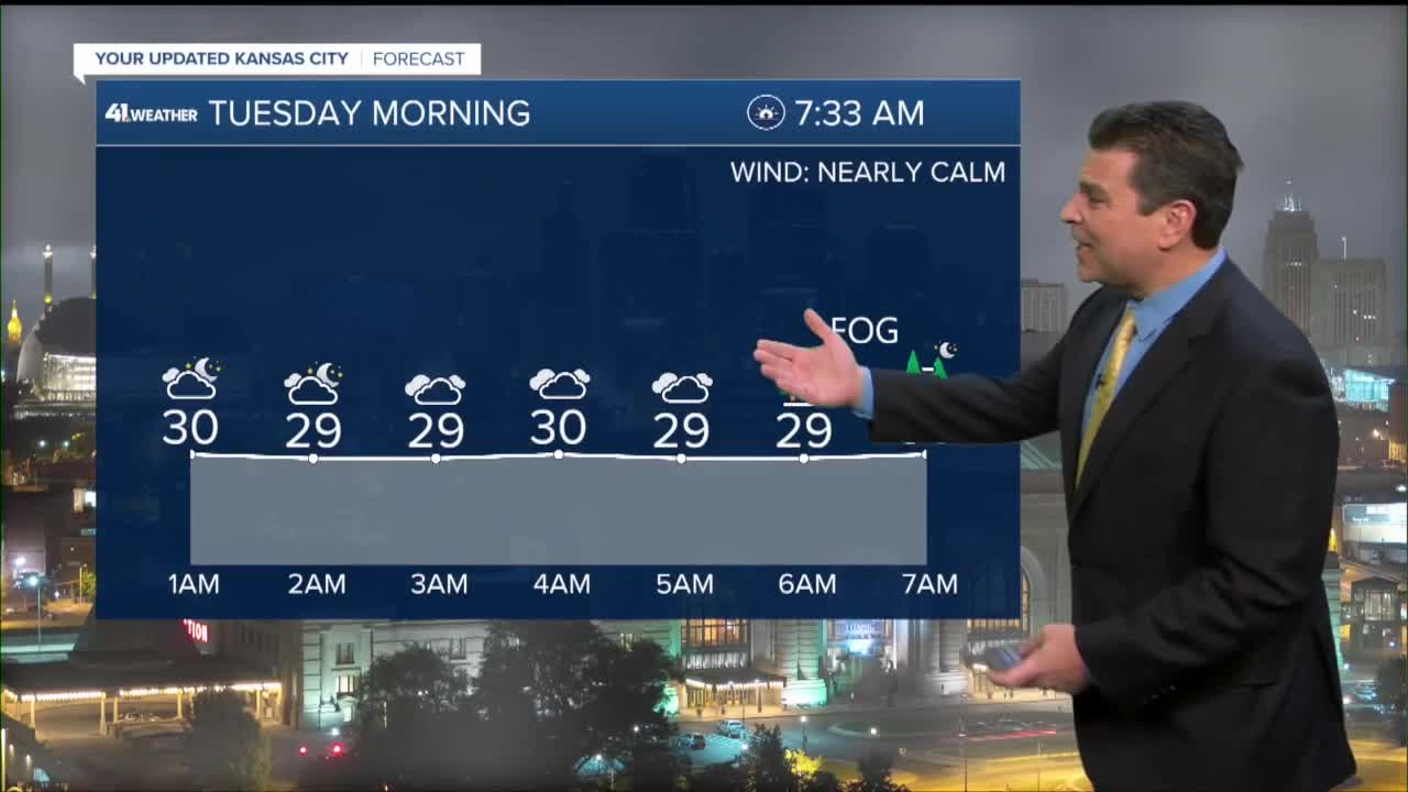
Tonight: Watch our for areas of fog and freezing cold conditions. Black ice possible. Wind calms. Wind: SW to SE 5 mph. Low: 26°
Tuesday: Clouds thicken throughout the day. Light snow and rain increase from south to north as the evening commute ends. The wintry mix quickly turns to all snow and accumulations begin late in the evening. Wind: Calm to NE 5-10 mph. High: 41°
Wednesday: Snow tapers from west to east as the morning commute ends. Kansas City accumulations between 2"-4", with 1"-3" north of KC and 3"-5" southeast of KC. Wind: NW 10-20 mph, Gusting 25 mph. Low: 29° High: 36°
Get more updates from our weather team:
View our interactive radar
Read our Weather Blog
Check out the current conditions in our area
The KSHB 41 Weather Storm Shield is a life-saving app that acts like an NOAA Emergency Weather Radio on your iPhone or Android phone. You will receive critical alerts via voice and push notification regarding major, potentially life-threatening weather events.
