

WEATHER HEADLINES
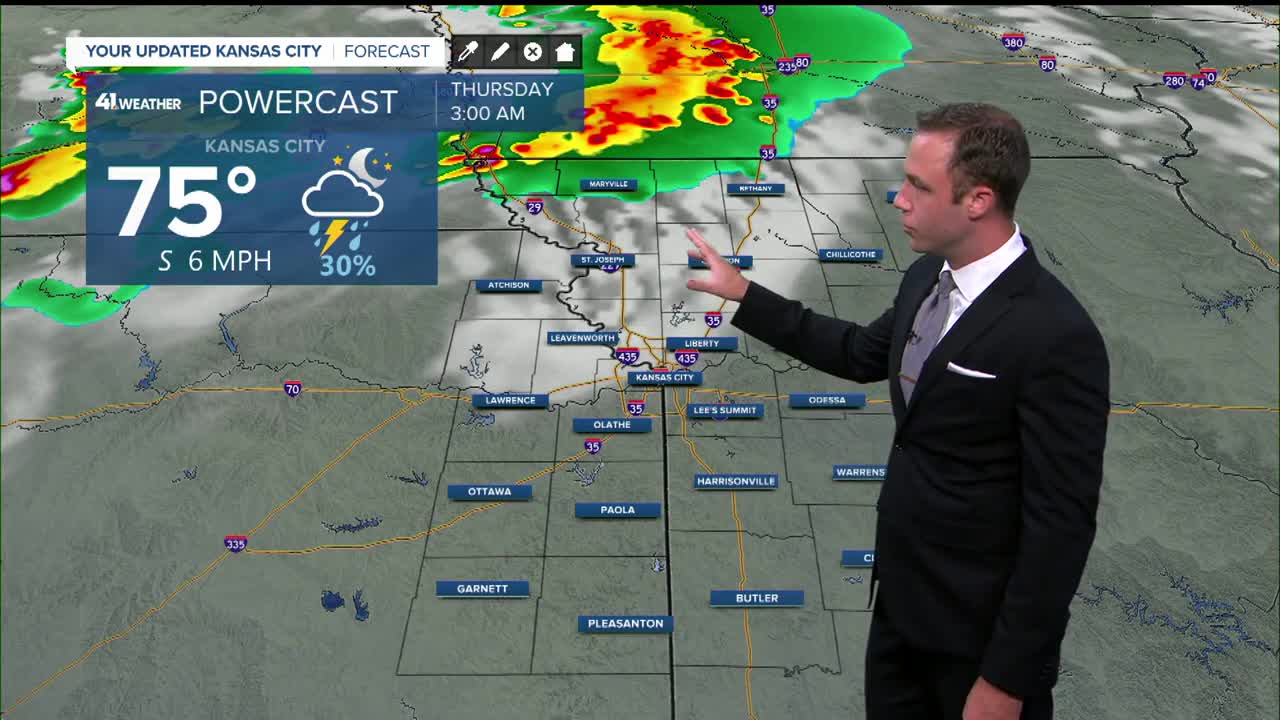
- Strong storms are possible tonight, especially in northwest Missouri
- Hot and humid for the next couple days, heat index near 100
- A little cooler for the weekend
KANSAS CITY'S FORECAST
Tonight: Partly to mostly cloudy with a round of rain and storms possible after midnight. Some storms may cause damaging wind gusts.
Wind: S 5 mph
Low: 72º
Thursday: Partly cloudy and toasty once again. Storms may move across the area in the morning and again in the afternoon. Breezes pick up as well.
Wind: S-SE 10-20 mph
High: 93º
Get more updates from our weather team:
View our interactive radar
Read our Weather Blog
Check out the current conditions in our area
The KSHB 41 Weather Storm Shield is a life-saving app that acts like an NOAA Emergency Weather Radio on your iPhone or Android phone. You will receive critical alerts via voice and push notification regarding major, potentially life-threatening weather events.
