


KANSAS CITY, Mo. — Good Thursday bloggers,
Well, we got the rain we needed and more. Locations that had seen 1"-2" of rain during the last 6 weeks saw 4"-9" in 12 hours! Average rainfall for July is 4.58". So, some locations received 6 weeks of rainfall in 12 hours.
You can also see that locations from Belton, MO to Orrick, MO have seen .50"-2" of rain which is a lot, but compared to the Kansas side it does not seem like much.

Locations from Ottawa, KS to Sedalia, MO have seen under 1". But they have seen plenty of rain the last several weeks.

The cause of the heavy rain is a slow-moving cold front tracking south as a series of disturbances track west to east along & north of the front. It was in the 40s across northern Nebraska this morning!

Here was the radar from 2:30 AM. You can see the thunderstorms all lined up along and behind the front.

What is next?
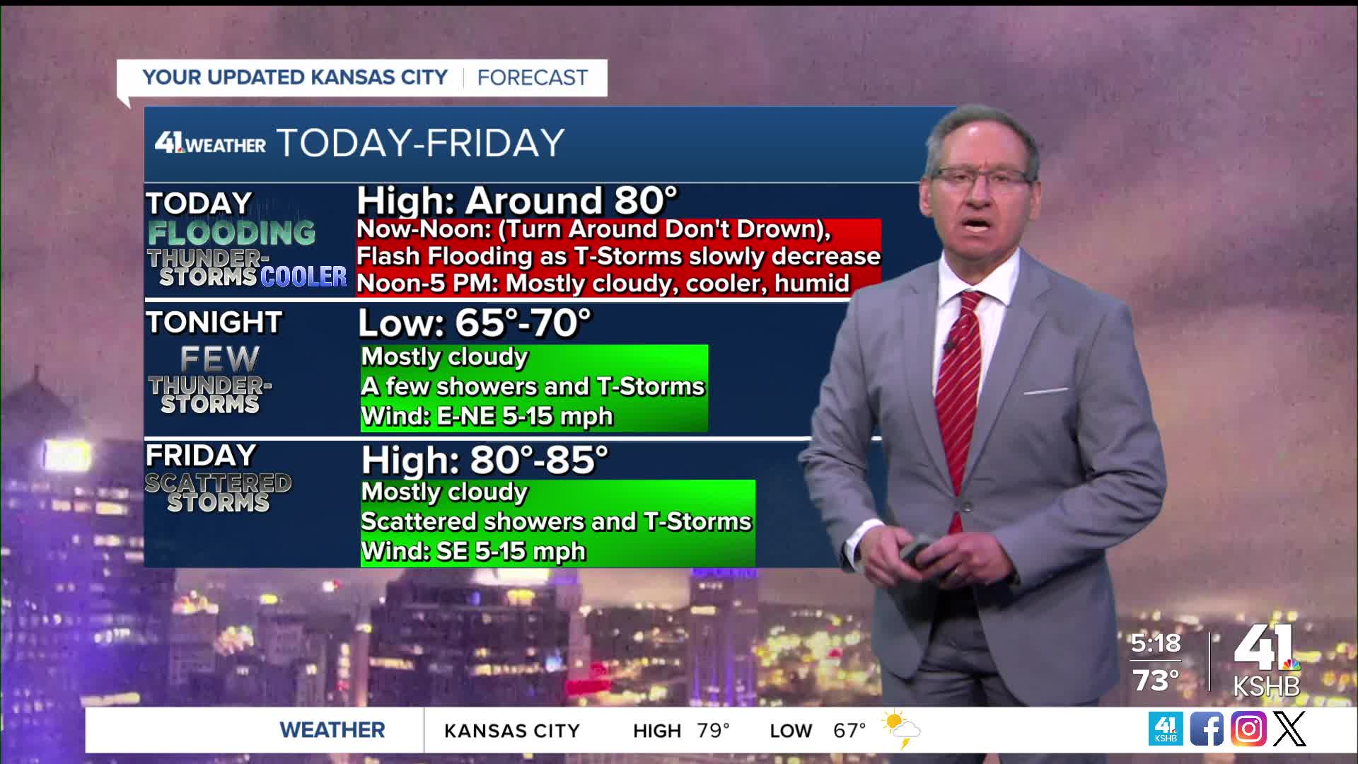
The torrential rain and thunderstorms (2"-3" per hour rate) is shifting east and away from the locations that saw 4"-9" of rain. Rainfall rates are now dropping to .25"-1" per hour. But, there is usually a delayed reaction to the rising water. So, even though the rain will end this early morning, the high water on many roadways will take closer to noon to recede.

This afternoon will be mostly cloudy with perhaps a few showers, T-Storms. Tonight we will see a few showers and thunderstorms, nothing like last night.
The front that came through last night will return as a warm front Friday. This will create scattered showers and thunderstorms. There is a chance we could see a bigger and widespread cluster. We will have to see how new data looks later today.

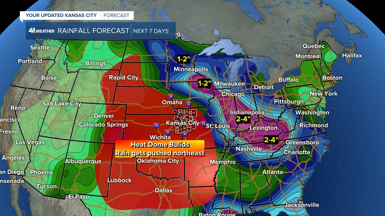
THE NEXT 7 DAYS:
We will see the heavier rain threat shift to northern Missouri over the weekend and north to the upper Midwest and eastern Midwest next week. We have a chance to see a new 1"-2" before this happens. This is due to a heat dome building in.

Next week we will see low to no rain chance as the heat builds in. Highs will be around 95° and with all the water in the ground the humidity will get out of control. So, heat indices will reach 105° to 110°. A cold front with more thunderstorms is possible by the end of next week.
Have a great rest of your week.
Stay healthy.
