

Happy 2026, Weather Blog readers!
January is really living up to its reputation right now, and today has been a classic gray day across the region.
We did see some breaks in the clouds today, especially south of Kansas City, but downtown stayed pretty hazy, and the clearing slowed as it tried to move north.
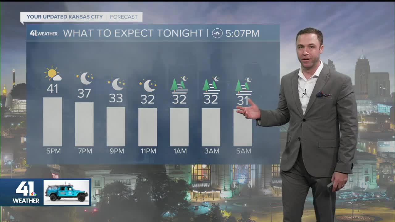
Even when the clouds thin out, the daylight this time of year can make the sky still look washed out. Temperatures were mostly in the 30s around the metro, with calm winds at times, though a northerly breeze will start to develop as a shot of cooler air slides in tonight.

High clouds will continue streaming overhead this evening, and as temperatures fall into the lower 30s overnight, some fog will try to develop around and after midnight.
Confidence in widespread fog is lower north of the city into northern Missouri and Kansas. If fog does form, it could be freezing fog north of Kansas City, which would cause slick spots on bridges and overpasses.
Lows tonight will be near 30 degrees, with mid-20s farther north.

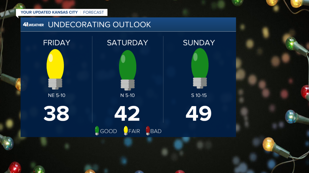
Friday won’t feel much different from today. Cloudy skies stick around, and highs will top out close to 40 degrees. Don’t expect much change in how it feels overall from today to tomorrow.
Late Friday night into early Saturday, we’ll be watching a weak system that could bring a light wintry mix to parts of far northwest Missouri and northeastern Kansas. If temperatures dip into the 20s, even light precipitation could cause some slick spots, so if you’re traveling in that direction, it’s worth keeping an eye on the forecast.

Looking ahead to the weekend, Saturday brings some sunshine with highs around 40. Clouds return Sunday, but a south wind will help warm things up, pushing highs near 50.
It should be a good weekend to take down the holiday decorations with light winds and mild temperatures.
That warming trend continues into next week with highs near 60 on Monday, a brief dip midweek, then another run close to 60 by Wednesday.
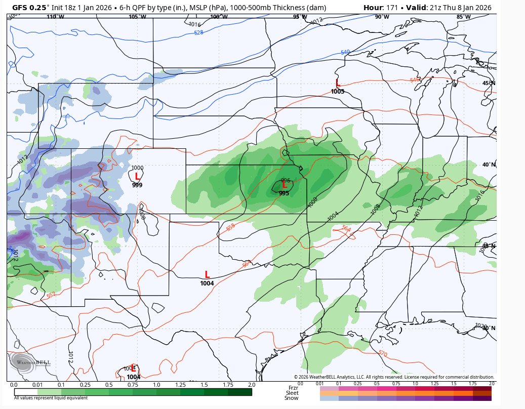
We’ll also be watching the potential for rain and possibly our next better chance at a more meaningful wintry setup toward the end of next week. However, it needs to get cold first for things to look more promising in terms of forecasting snow more than a week in advance.
Have a great weekend, everyone!
