


KANSAS CITY, Mo. — It has turned into a stormy Thursday afternoon in Kansas City. Storms dropped 1-3” just north of Interstate 70 this afternoon, triggering a flood advisory.
As of 4:35 p.m., only a quarter inch of rain fell at “Kansas City Stadium.”

Those storms may have been so strong that they cooled our atmosphere enough that, for the rest of the evening, thunderstorms/lightning may not be as big a concern for outdoor activities.
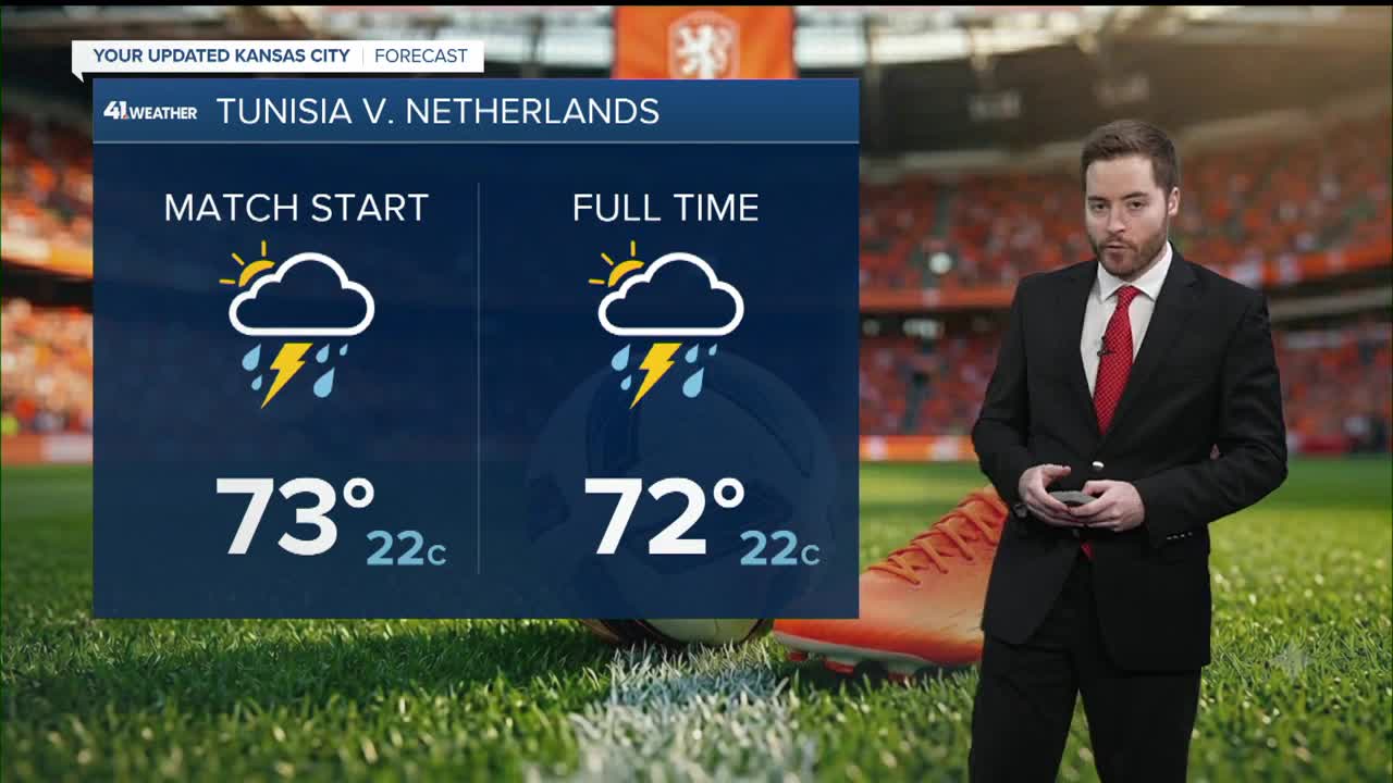
The FIFA World Cup follows the common eight-mile rule. Lightning within eight miles of the venue will trigger a 30min delay. So while lightning chances are lower, rain may still be around through most of the evening.

That means soggy fans and field conditions gradually getting sloppier, with fans getting wetter.
After 10 p.m., rain may intensify, and lightning chances increase, so officials will need to ensure the game is wrapped up by then to mitigate the threat of further delays. Scattered showers and storms are expected to continue overnight through much of western Missouri and eastern Kansas, while the northern parts of the states remain relatively drier.

A few showers will continue through Friday morning, but the day is looking dry, warm, and will continue warm with highs near 80
Rainfall totals still range from roughly 0.25 to 2.5,” with a flood watch in effect until Friday morning.

Our last chance of rain is Saturday afternoon and night, followed by a week of heat.
Highs from roughly Sunday-Saturday of next week will be in the lower 90s, with heat indices in the lower 100s

—
