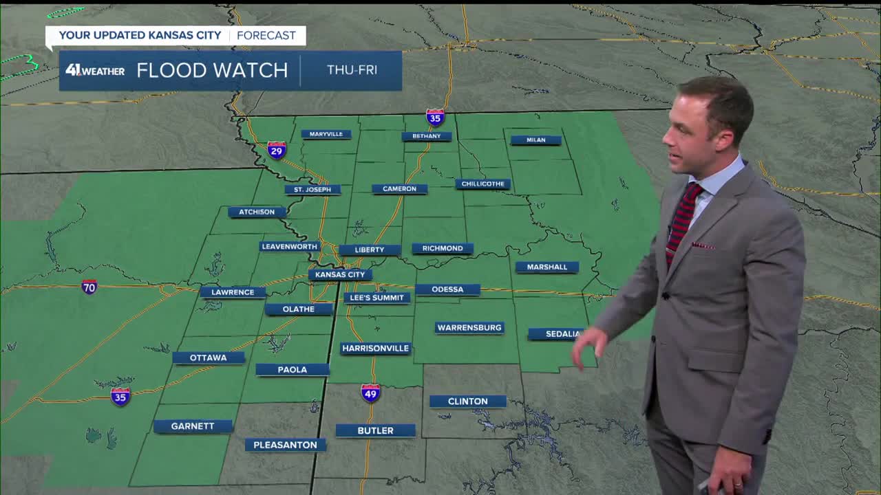


WEATHER HEADLINES
- Flood watch including the KC Metro until Friday
- Occasional showers and storms Thursday afternoon-Friday evening
- Back to hot and humid over the weekend into early next week, followed by a cooler stretch into next weekend
KANSAS CITY'S FORECAST
Tonight: A slight chance of thunderstorms by morning. Best chance of rain is northern MO and KS
Wind: S 10-15 mph
Low: 73º
Thursday: A shower or storm possible in the morning, scattered strong storms possible in the afternoon and evening. Widespread rain is possible overnight with flooding.
Wind: S 10-15 mph
High: 87º
Heat Index: 100º
Friday: A good chance of mainly morning rain and thunderstorms. Flash flooding will be an issue in some locations.
Wind: SE 5-15
Low: 70º
High: 83º
Get more updates from our weather team:
View our interactive radar
Read our Weather Blog
Check out the current conditions in our area
The KSHB 41 Weather Storm Shield is a life-saving app that acts like an NOAA Emergency Weather Radio on your iPhone or Android phone. You will receive critical alerts via voice and push notification regarding major, potentially life-threatening weather events.
