

WEATHER HEADLINES
- Rain and storms are possible early Tuesday morning, afternoon
- Staying near 90 nearly every day this week
- A little cooler for the weekend
KANSAS CITY'S FORECAST
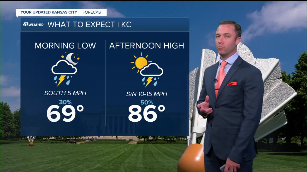
Tonight: Storms in northern MO and KS could be strong with wind gusts. Storms are possible for the metro after 3 am.
Wind: S-SE 5 mph
Low: 69º
Tuesday: Showers and storms are possible in the morning and afternoon.
High: 86º
Wind: N 5-10 mph
Wednesday: Partly cloudy, hot, and humid.
Wind: E-SE 5-10
Low: 70º High: 91º
Get more updates from our weather team:
View our interactive radar
Read our Weather Blog
Check out the current conditions in our area
The KSHB 41 Weather Storm Shield is a life-saving app that acts like an NOAA Emergency Weather Radio on your iPhone or Android phone. You will receive critical alerts via voice and push notification regarding major, potentially life-threatening weather events.
