

KANSAS CITY, Mo. — WEATHER HEADLINES
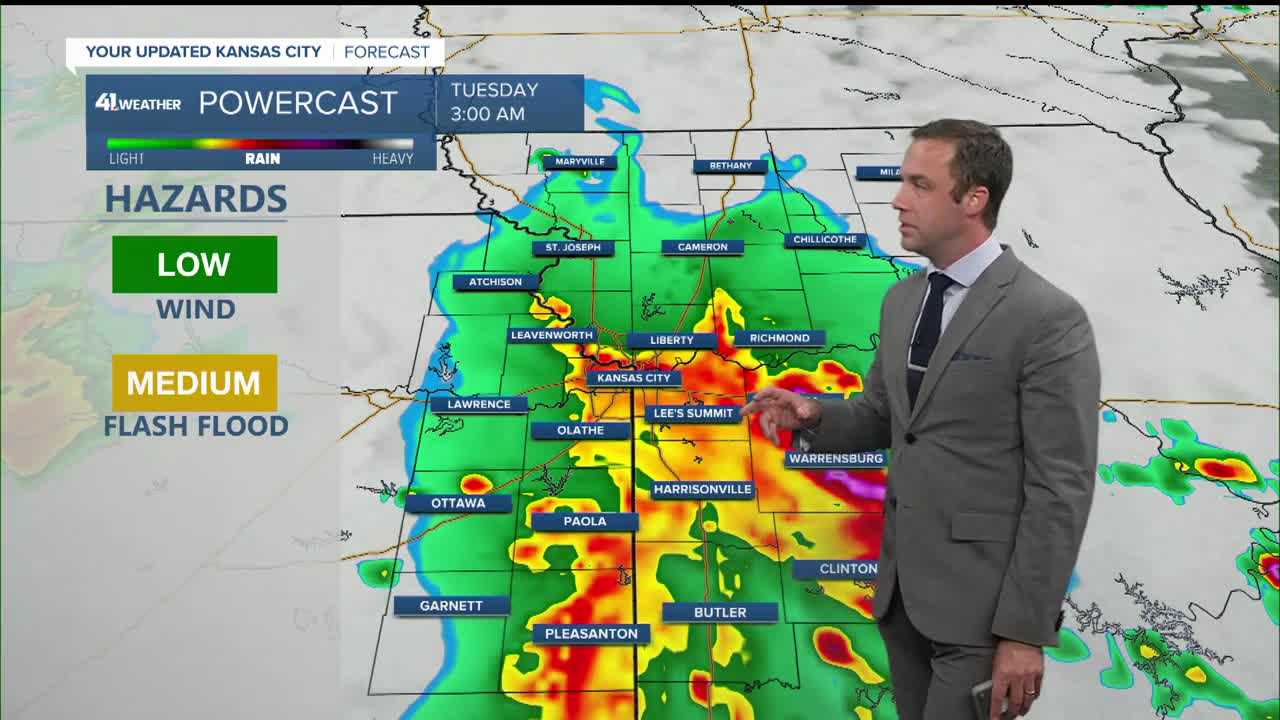
- A widespread, heavy-hitting round of storms is expected Monday night, with severe weather possible
- Much hotter and more humid on Tuesday and Wednesday
- More storms, possibly severe, Wednesday-Thursday.
KANSAS CITY'S FORECAST
Monday night: Showers and thunderstorms likely after 11pm... maybe not arriving until after 1am. Storms may produce damaging wind gusts, very heavy rainfall, and brief tornadoes.
Low: 71°
Wind: SE 5-10 mph
Tuesday: A morning shower or storm is possible. Hot and humid, heat index near 100° in the afternoon.
High: 91°
Wind: SW 10-25 mph
Wednesday: Scattered showers and storms possible in the afternoon and overnight. Continued very hot and humid.
Low: 75°
High: 91°
Wind: SW 15-25, Gusts 40 mph
Get more updates from our weather team:
View our interactive radar