

WEATHER HEADLINES
- The warming trend begins today as highs climb to the mid and upper 80s
- Out 1st heat wave of the summer is possible Friday-Monday, heat index values 105°-115°
- The next cold front arrives Tuesday
KANSAS CITY'S FORECAST
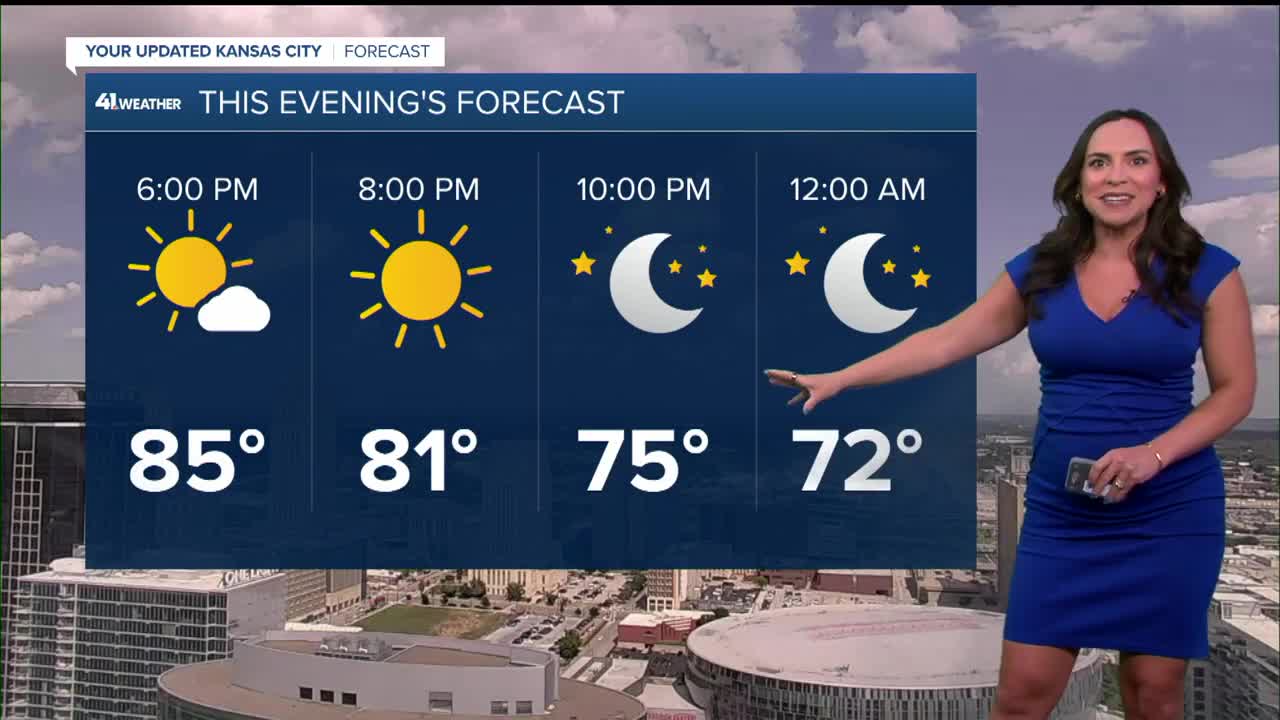
Wednesday: Partly to mostly sunny, warm and humid.
Wind: E-NE 5-10 mph
High: 87º
Tonight: A nice summer night with comfortable temperatures.
Wind: SE 5-10 mph
Low: 65º
Thursday: Mostly sunny, warmer and humid.
Wind: SE 10-15 mph
Low: 65º
High: 88º
Friday: Mostly sunny and hot with high humidity.
Wind: S 10-15 mph
Low: 71º
High: 94º
Heat Index: 105º-115°
Saturday: The heat is on. Mostly sunny and hot with high humidity. There will be more of a breeze.
Wind: S 10-20 mph
Low: 75º
High: 95º
Heat Index: 105º-115°
Get more updates from our weather team:
View our interactive radar
Read our Weather Blog
Check out the current conditions in our area
—
