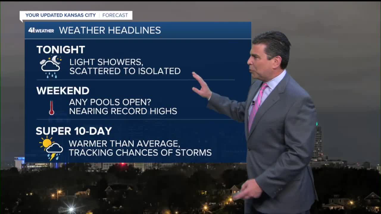


WEATHER HEADLINES
- Scattered showers floating around overnight, 30-40%
- Near record warmth this weekend, higher humidity too
- The warmth lasts next week
- Tracking a couple more storm systems next week also
KANSAS CITY'S FORECAST
Tonight: Scattered light showers possible. Becoming breezy and mild.
Low: 56°
Wind: S-SE 10-20 mph
Friday: Any lingering morning showers taper off by lunch with clouds and sun for the afternoon. Enjoy comfy conditions for Friday afternoon and evening activities and Cinco de Mayo festivities!
High: 76°
Wind: SE 10-15 mph
Saturday: Increasing sun and turning very warm and humid! A strong cap keeps our storm chances at 20%, mainly east of Kansas City.
Low: 59° High: 88°, Record 89° set in 2004
Wind: S 10-20mph
Sunday: Mostly sunny and even warmer with another chance at setting a record high temperature. The cap is weaker this day leading to a 30% chance of evening thunderstorms!
Low: 63° High: 90°, Record 92° set in 1934
Wind: SSW 15-25 mph
Get more updates from our weather team:
View our interactive radar
Read our Weather Blog
Check out the current conditions in our area
The KSHB 41 Weather Storm Shield is a life-saving app that acts like an NOAA Emergency Weather Radio on your iPhone or Android phone. You will receive critical alerts via voice and push notification regarding major, potentially life-threatening weather events.
