

WEATHER HEADLINES
- Scattered showers and storms tonight, Tuesday afternoon
- .Chance of rain daily through Tuesday
- A cold front may not arrive until early next week
KANSAS CITY'S FORECAST
Tonight: Partly cloudy with scattered showers and storms near and north of KC.
Wind: South 5-15 mph.
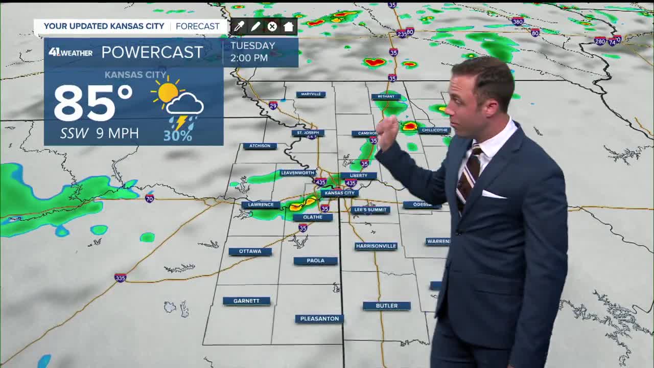
Tuesday: Showers and storms possible...especially before 10 am...then again after 2 pm. Partly cloudy, hot, and humid.
High: 89°
Wind: S 10-20 mph
Wednesday: Slight chance of a shower or storms. Otherwise, hot and humid again.
Low: 74° High: 92°
Wind: S 10-25 mph
Get more updates from our weather team:
View our interactive radar
Read our Weather Blog
Check out the current conditions in our area
The KSHB 41 Weather Storm Shield is a life-saving app that acts like an NOAA Emergency Weather Radio on your iPhone or Android phone. You will receive critical alerts via voice and push notification regarding major, potentially life-threatening weather events.
