

WEATHER HEADLINES
- Periods of rain and storms through Saturday afternoon, flash flooding likely in some locations
- Back to hot and humid over the weekend into early next week, heat index near 105 Sunday-Tuesday
- Much cooler end of July to early August
KANSAS CITY'S FORECAST
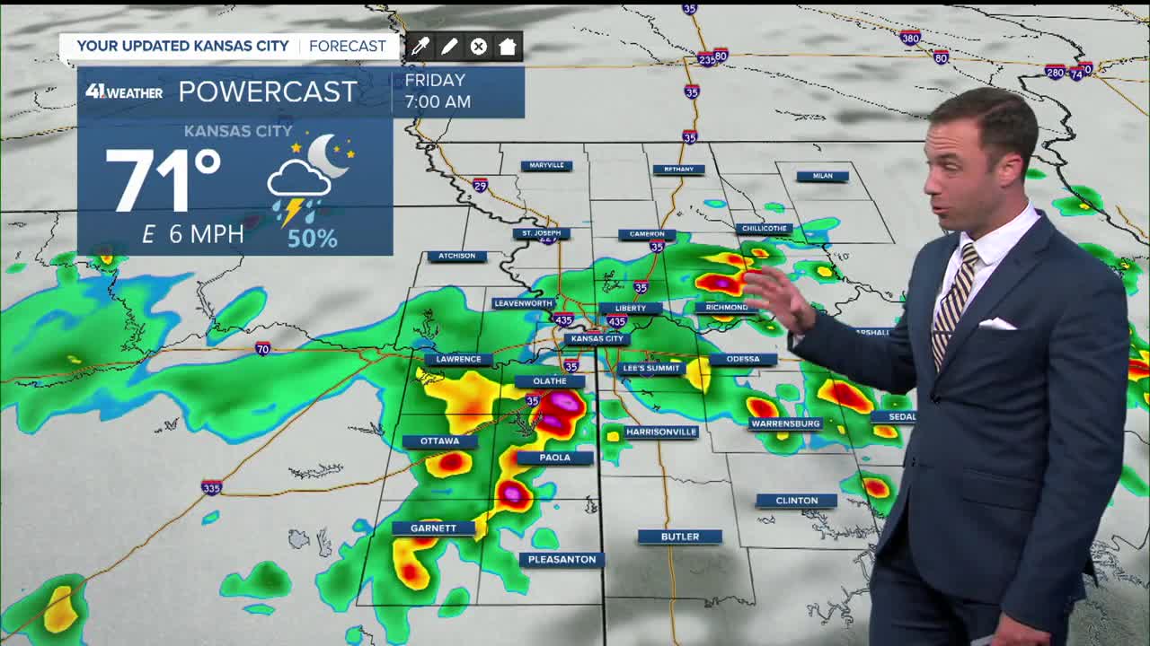
Tonight: Periods of rain and thunderstorms. Flash flooding is likely in some locations with rainfall totals as high as 3"-8" or more in some locations.
Wind: Gust 30-60 mph in a few T-Storms
Low: 70º
Friday: Scattered showers and storms possible in the morning and later in the afternoon. Heavy rainfall could lead to flash flooding. Friday night may bring flooding rains into northern MO and KS
Wind: E-SE 5-15 mph
High: 83º
Saturday: Scattered showers and thunderstorms possible during the early morning, then again in the afternoon.
Wind: S-SE 5-15 mph
Low: 73º
High: 90º
Get more updates from our weather team:
View our interactive radar
Read our Weather Blog
Check out the current conditions in our area
The KSHB 41 Weather Storm Shield is a life-saving app that acts like an NOAA Emergency Weather Radio on your iPhone or Android phone. You will receive critical alerts via voice and push notification regarding major, potentially life-threatening weather events.
