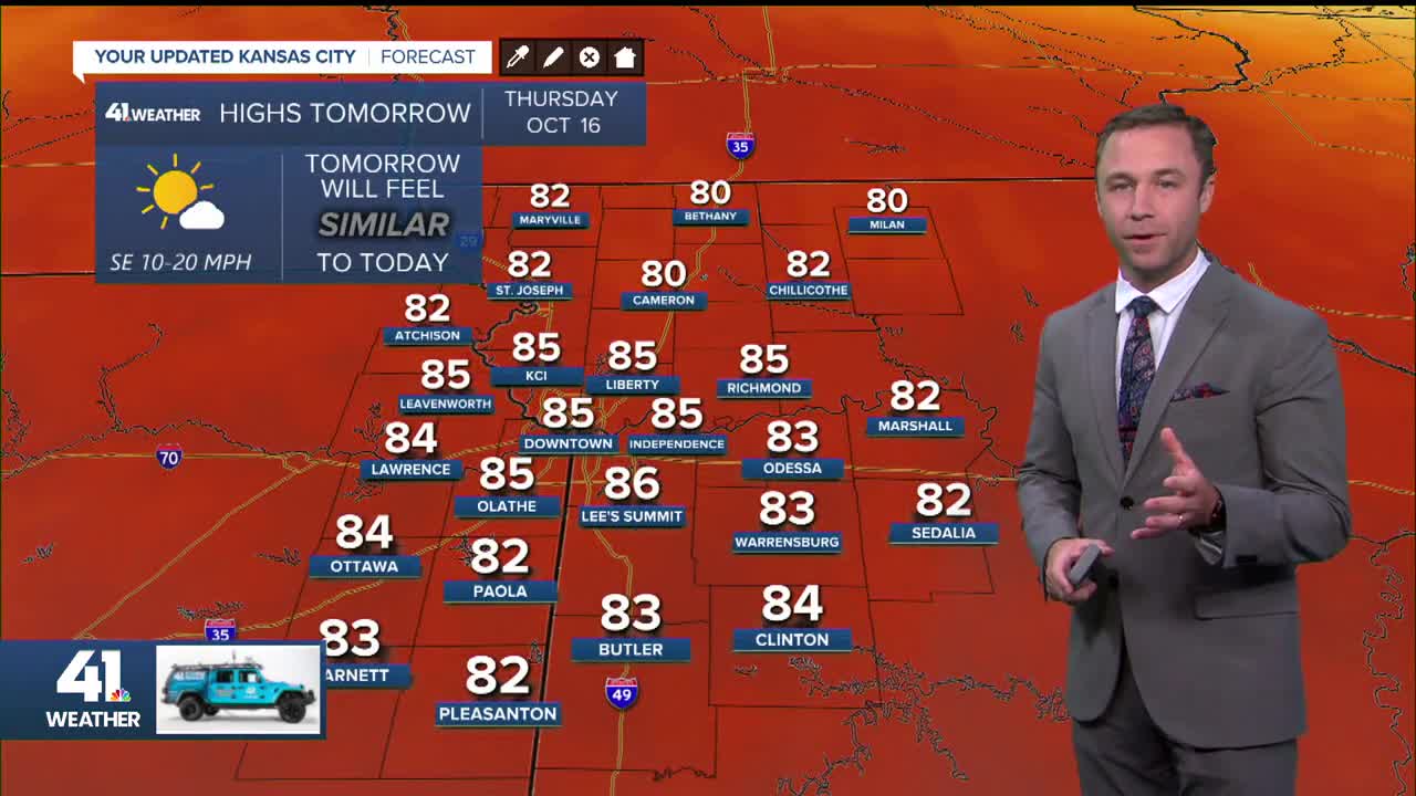


WEATHER HEADLINES
- Thursday will be just as warm as today with highs in the 80s
- Friday will be almost as warm, but showers and storms should arrive that evening
- Cool, perfect fall weather expected for the Chiefs game on Sunday
KANSAS CITY'S FORECAST
Tonight: Partly cloudy to mostly clear and mild.
Wind: SE 5-10 mph
Low: 64º
Thursday: Breezier and still unseasonably warm with plenty of sunshine.
Wind: S-SE 10-20 mph
High: 85°
Friday: Partly cloudy and breezy once again. Late afternoon and evening should bring some scattered thunderstorms, a couple of which may be strong.
Low: 63° High: 83°
Get more updates from our weather team:
View our interactive radar
Read our Weather Blog
Check out the current conditions in our area
—
