


Good Saturday bloggers,
Today the sun sets at 6:12 PM and tomorrow it sets at 5:11 PM. I know there are many that are not fond of the early sunset, but we do get an extra hour of sleep tonight, and it is a 49 hour weekend. Also, the weather data comes in an hour earlier, and who wouldn't be excited about that? Winter begins on Dec. 21. After that day, the daylight will begin to increase until the first day of summer 2022.
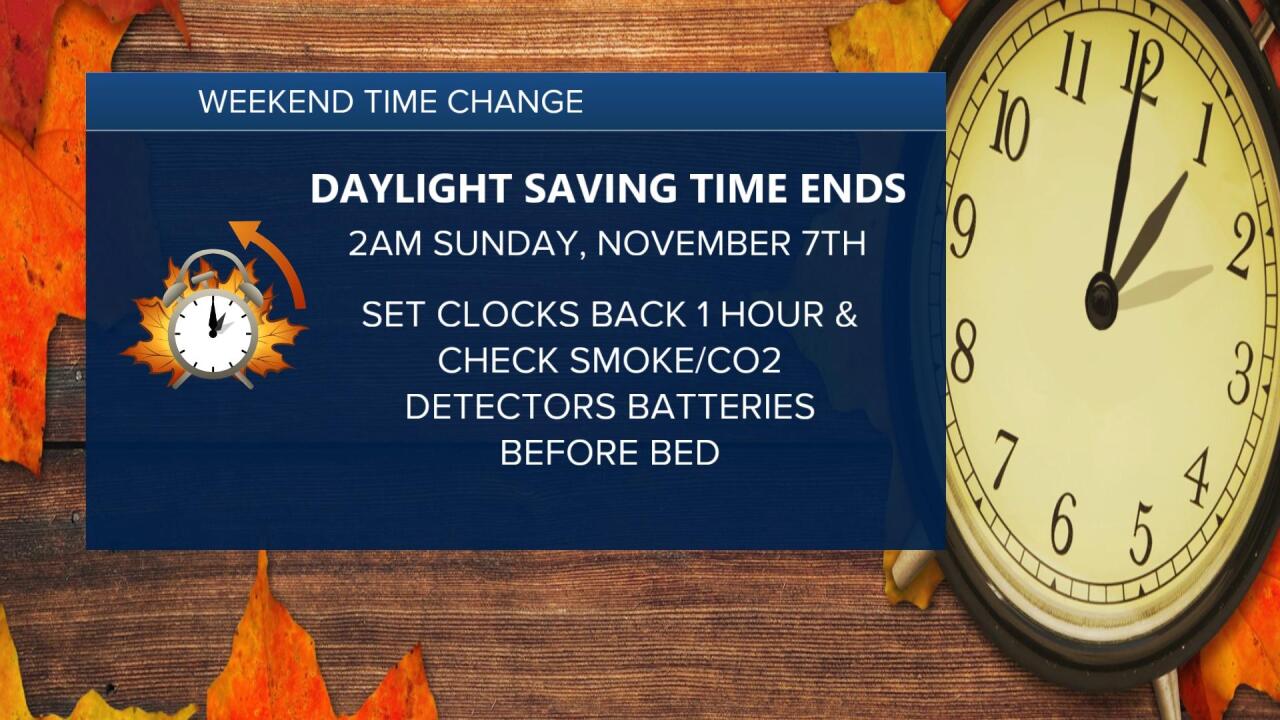
So, remember to set the clocks back one hour tonight and check the smoke and carbon monoxide detectors.
Now to the weather. We are in for some great weather this weekend with changes arriving Tuesday-Wednesday.
Let's go through this.
TODAY:
It will be a sunny day with an increasing south breeze to 10-25 mph. Highs will reach the 60s which is about 5-10 degrees above average. This great weather will include much of the middle of the U.S.
It will be a cool evening as temperatures drop to the 50s under an almost new moon.


SUNDAY:
There will be more sunshine with highs in the low 70s. It will be windy with south winds 15-30 mph gusting to 35-40 mph. A front in the northern Plains will drift this way and arrive Tuesday. This may trigger a shower or thunderstorm.

If you are headed to the Chiefs game and tailgating, make sure the plasticware is secure as south winds gust over 30 mph.
I think the Chiefs win 31-24. Fingers crossed!

WEDNESDAY:
This is the day when we will see a big change in the weather. A storm system and cold front will evolve over the middle of the USA. We will see an increasing chance of rain and thunderstorms during the day and night. There is the potential for heavy rain and slight chance of some severe weather. Highs will be 55-65.

THURSDAY:
The storm organizes as it moves east a bit. We will be in for windy and colder conditions with a possible snowstorm in the upper Midwest. Accumulating snow could occur as far south as southern Iowa.
Right now it looks like we will stay away from the accumulating snow with this storm, but it will be close.
Next Thursday into next weekend look much colder with highs in the 40s and lows 25-35, our first widespread hard freeze is possible.
This is still an evolving situation, so nothing is set yet. But, there is a trend toward a period of heavy rain and thunderstorms followed by colder air. Keep in mind that all of November averages 2.00" of rain. So, if we get 1" of rain Wednesday that is 50% of November's total in one day.

The Snowflake Contest is ongoing despite seeing our first snowflakes last Monday. This is because the Snowflake Contest ends when one of our meteorologists measures 1" of snow at KSHB 41 located on the Plaza.
Could it end at the end of next week? Very slight chance.

Have a great weekend and stay healthy.
