


KANSAS CITY, Mo. — A flood warning that had been in effect for parts of the Kansas City area was allowed to expire early Monday afternoon.
The National Weather Service had issued the warning for eastern Johnson County, east central Wyandotte County, northwestern Cass County and southwestern Jackson County.
LINK | Latest KSHB 41 Weather radar
LINK | Latest KSHB 41 Weather forecast
LINK | Latest KSHB 41 Weather alerts
UPDATE, Noon | The Overland Park Fire Department reports the body of an adult woman was recovered late Monday morning along a trail with possible flash flooding.
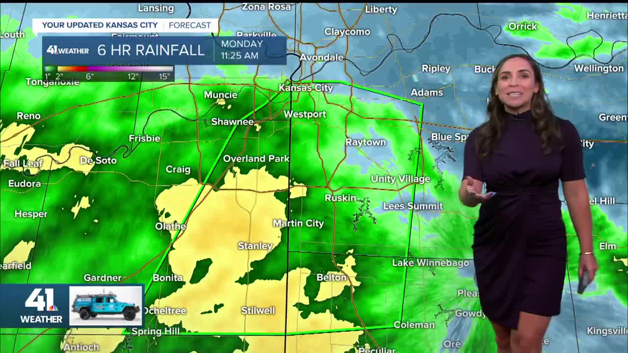
UPDATE, 11:30 a.m. | Here's the latest weather forecast video from KSHB 41's Megan Abundis.
UPDATE, 9:45 a.m. | Lenexa police say this morning's thunderstorms have caused high water on a stretch of Santa Fe Trail Drive:
Santa Fe Trail Drive is closed between 105th Street and College Boulevard due to high water. Please use alternate route. ⚠️
— City of Lenexa (@cityoflenexa) July 21, 2025
Remember: If you see flooding, turn around — don’t drown. pic.twitter.com/Ukw9Ku3U6m
UPDATE, 9:30 a.m. | KSHB 41 meteorologist Jeff Penner says rainfall rates of two to three inches per hour are possible.
Very heavy thunderstorms are slowly moving through Johnson county into western Jackson and southern Wyandotte counties. There is quite a bit of runoff with 2-3” per hour rainfall rate. Flash flooding is possible the next 1-2 hours. @KSHB41 pic.twitter.com/7p0VDC6WE2
— Jeff Penner (@JeffPennerKSHB) July 21, 2025
—
![020626_KSHB_Image_NXA_Web_Standard Cube[88].jpg](https://ewscripps.brightspotcdn.com/dims4/default/0ead409/2147483647/strip/true/crop/300x225+0+13/resize/960x720!/format/webp/quality/90/?url=http%3A%2F%2Fewscripps-brightspot.s3.amazonaws.com%2F8f%2F6c%2Ffad8bd2346c5a4d4ead793017d4a%2F020626-kshb-image-nxa-web-standard-cube88.jpg)