


KANSAS CITY, Mo. — Severe thunderstorms and suspected tornadoes ripped east across Kansas and into the Kansas City metro area Tuesday night.
Viewers sent 41 Action News video from several locations showing the storm system.
NOTE: In the event of severe weather, 41 Action News welcomes viewers’ video but strongly advises against staying outdoors to capture it. Unless a professional storm chaser, it’s recommended to seek shelter immediately if in the path of a tornado.
—
Warning came early, with a tornado watch issued for the entire KC metro by the National Weather Service just before 2 p.m.
Everyone remained on high alert as subsequent severe thunderstorm and flash flood warnings began.
RELATED | Lend a hand: How you can help tornado damage victims
NWS reported frequent lightning, flooding and hail up to the size of golf balls across northwestern Missouri.
Shortly after 6 p.m., NWS issued the first tornado warning for the area, which included Lawrence, De Soto, Linwood and Reno, Kansas.
LISTEN: Kansas City shows resiliency after devastating tornadoes
The tornado first struck southern portions of Lawrence.

The storm intensified, and tracked on a northeastern track toward Linwood.
The tornado warning was extended in time and location to include portions of Leavenworth and Johnson counties, including Bonner Springs, Kansas.
The tornado stayed on the ground and continued to move northeast as it approached the state line, NWS said.
Warnings were issued for more metro cities, including Kansas City, Missouri, Kansas City, Kansas, and much of the Northland.
RELATED | PHOTOS: Tornado, storm damage across Kansas, Missouri
NWS said the tornado lifted as it crossed the state line and traveled over these cities, though it warned the storm was still capable of putting a tornado on the ground.
Just before 7:40 p.m., the tornado warning for the metro was canceled.
Debris was reported in parts of the metro further north, such as Smithville and Platte City, Missouri.

Debris from a greenhouse facility in Linwood, Kansas, was reported at Kansas City International airport, a distance of nearly 30 miles along the storm’s path.
About 10 minutes after the tornado warning was canceled, another was issued for Kearney, Mosby and Prathersville, Missouri.
NWS said it had reports of a rotating wall cloud near Interstate 35 in Clay County, and the warning was expanded to include Excelsior Springs and Lawson, Missouri.
NWS then reported there were possibly two tornadoes in the area of Excelsior Springs, one to the north and one to the west.
Around 8:30, NWS canceled the tornado warning for Clay and Ray counties but warned residents to stay weather aware, with the tornado watch still in effect until 10 p.m.
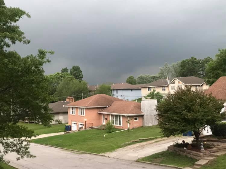
One viewer captured some of the damage this event left behind.
Severe thunderstorm and flash flood warnings continued through the night, as three to six inches of rain fell in just 24 hours.
This was especially apparent in northern Missouri.
NWS sent survey crews out to look at damage from two tornadoes Wednesday morning. Preliminary results from Clay County indicate an EF-2 tornado touched down, carving a path from southeast of Kearney into southwestern Excelsior Estates. Winds reached up to 115 mph.
The tornado that ravaged Linwood was rated an EF-4 by NWS later in the day. NWS said the storm carried winds reaching up to 170 mph and stayed on the ground for nearly 32 miles. The last time the Kansas City area saw an EF-4 tornado was in 2007 in Linn County, Kansas.
From the air and the ground, the devastation in Linwood was clear.
