



KANSAS CITY, Mo. — Keep your umbrellas, rain jackets and radar apps close by this weekend — you are likely going to need them.
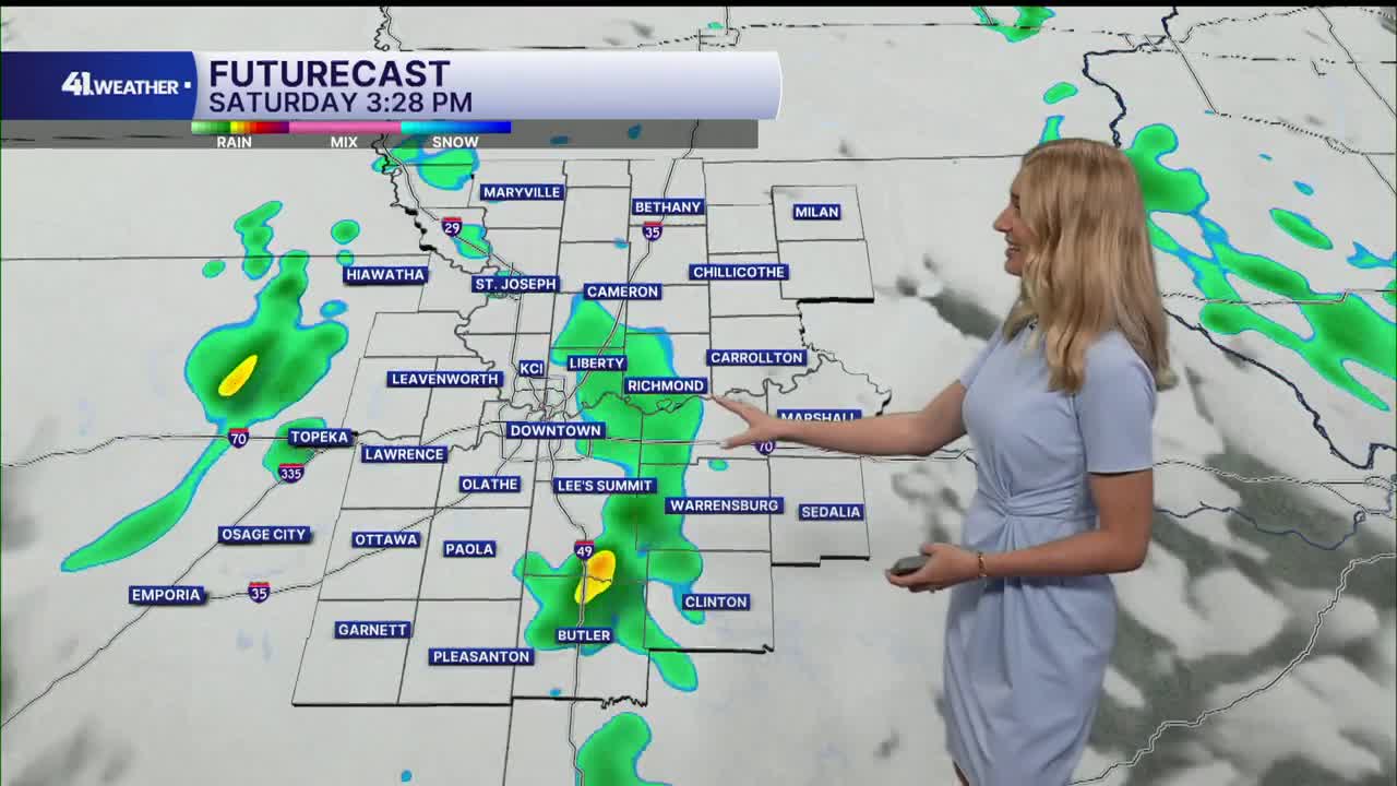
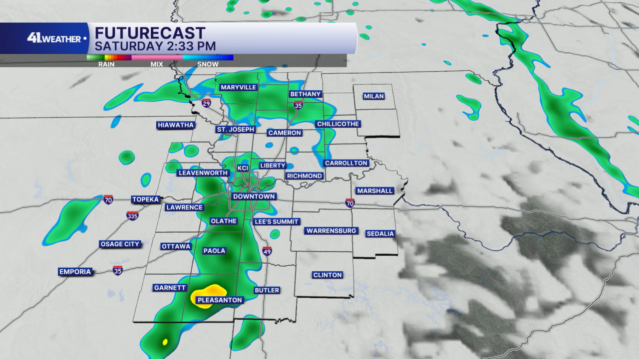
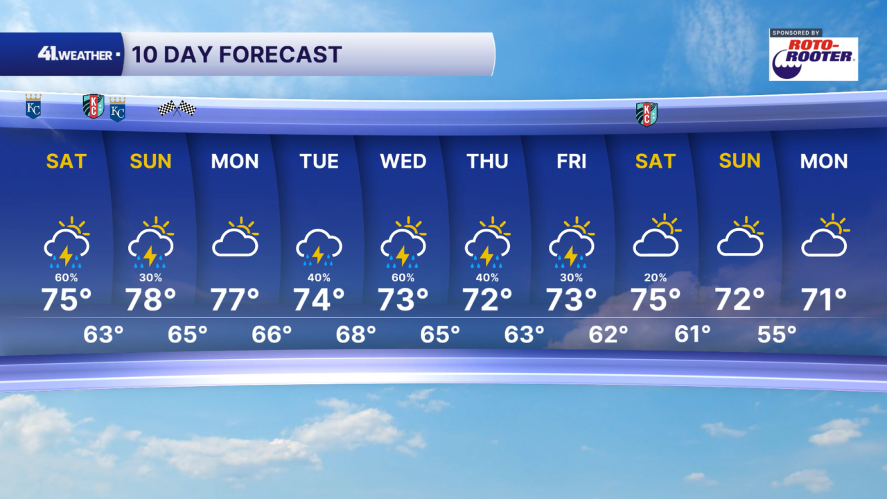
Rain will continue off and on throughout the weekend. Spotty showers are possible Saturday morning, with the chance of becoming more widespread by the afternoon and evening.
A few thunderstorms are possible, but luckily our severe weather risk remains very low over the next few days. The most we will likely see out of these storms is some thunder and lightning, as well as some localized heavy rainfall.
Rain chances continue overnight into Sunday morning. By Sunday afternoon, the area should be mostly dry, outside of a few isolated showers and storms possible.
If you're looking for a dry window this weekend, Sunday afternoon is your best bet at this point.
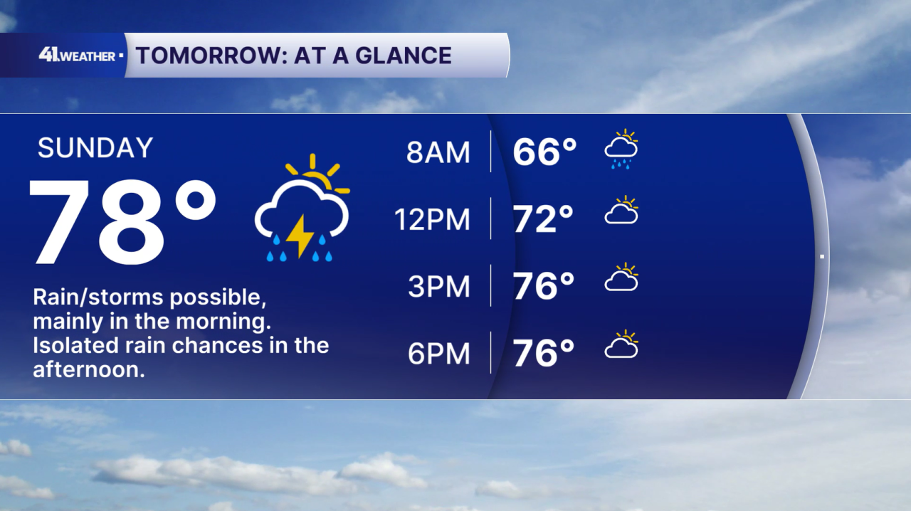
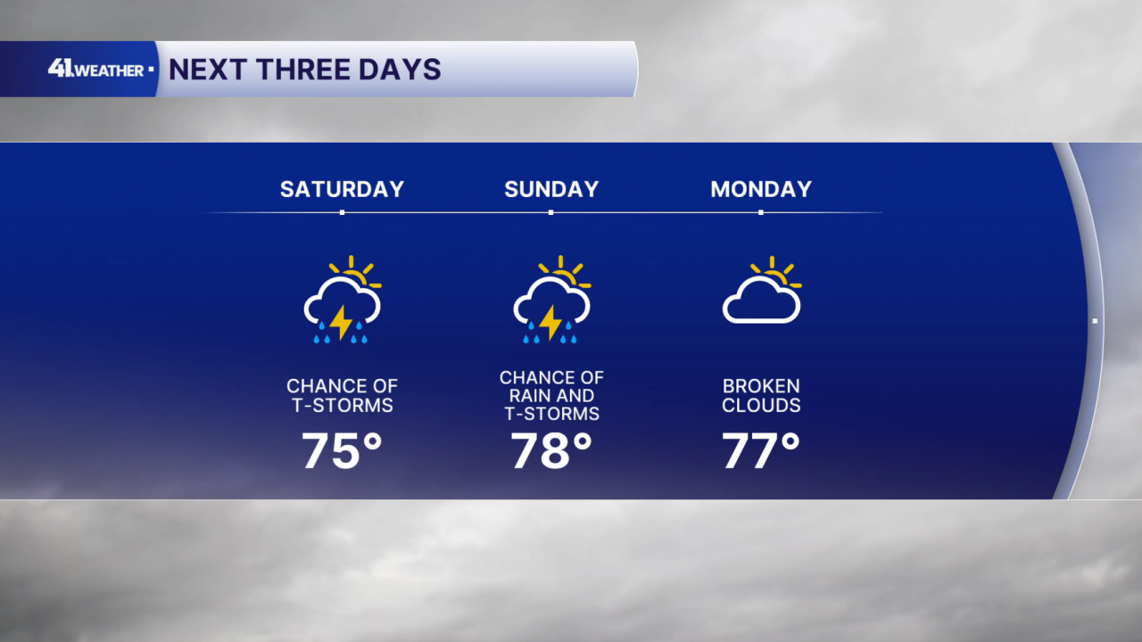
High temperatures will remain in the mid to upper 70s over the next few days. Monday brings mostly cloudy skies, and will likely be the driest day of the workweek.
By Tuesday, we are expecting off and on rain chances that will continue all the way through Friday.
Although severe weather is unlikely, flooding will be a concern. Otherwise, you can plan on seasonal temperatures in the low to mid 70s for the week ahead.
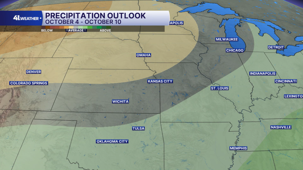
The rain won't last forever, though! Looking at the week of Oct. 4 through the 10, the KC area is expected to have overall near-average to drier-than-average conditions. Temperatures for this stretch are will likely be near average as well.
Have a question about the forecast? I'd love to hear it! Reach out to me, and I'll answer your questions on this weather blog.

Have a wonderful weekend!
—