


Good Wednesday, bloggers,
We are tracking two main items:
1. A big warmup
2. The chance of a winter storm around Valentine's Day. If you have been on social media, I am sure you have heard the chatter about this potential storm.
Let's go through all of this.
UPPER LEVEL FLOW/TEMPERATURES
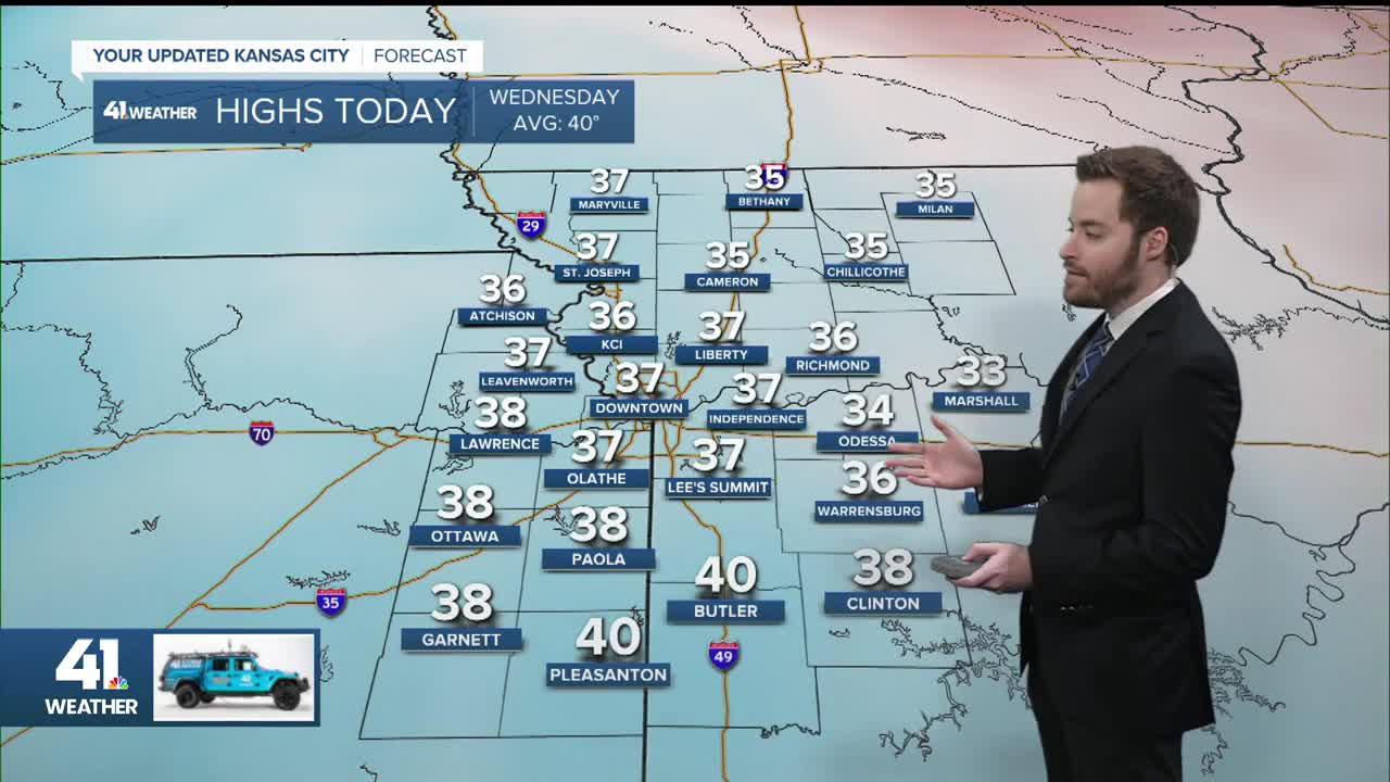
TODAY:
The upper-level pattern dictates what happens at the surface, and we have been dominated by a huge trough in the eastern U.S. and ridge in the western U.S. for the last three weeks. This has kept us very cold and mostly dry, except for the one main snow.
The eastern U.S. has been crazy cold with all kinds of winter precipitation. As of today, this is still the case, but you can see our flow is coming from western Canada and not the North Pole.
Storm systems are lined up in the Pacific Ocean like planes at O'Hare. They have been waiting for this persistent ridge west/trough east pattern to break.

This is a temperature anomaly map.
How much below or above average will temperatures run? Our average high today is 40° with an average low of 21°.
Today's high is in the low 30s, and we are in the blue, which is around 5° below average.

THIS WEEKEND:
This weekend, we are starting to see the persistent pattern break down. The Arctic flow is now only in New England, while we have a flat ridge moving in.
The small system in Nebraska will have little effect on our weather.
The Pacific systems are still moving slowly. The first one is located across northern Baja, California.

We will see temperatures get to 5-10 degrees above average, so that means highs in the upper 40s to low 50s.

Early next week, Monday and/or Tuesday, will see temperatures run 15 to 25 degrees above average in the middle of the U.S.
Yes, our average high is 41° next week, plus 15°-25° puts our highs well into the 60s.

By next Thursday, the systems will be crossing the country from west to east. There is still much uncertainty about which one will be the bigger one.
We will have a chance to see precipitation 2-3 times between Feb. 12-20. The Arctic air is gone, but you can still get snow without Arctic air.
But yes, some systems may bring rain.

FEB. 5-14
THURSDAY:
We will be in the upper 20s to low 30s during the morning as temperatures may start to drift up after midnight from temperatures in the mid to upper 20s.

Finally! We will reach the 50s for the first time since Jan. 13. It's only been three weeks, but it seems like three months. It will be partly cloudy and breezy during the morning, with fewer clouds and wind during the afternoon.

FRIDAY:
The lows will be in the mid to upper 30s or even low 40s. We are still stair-stepping the warmup as we track another cold front.

The front will zoom south with hardly a cloud. It is not that strong a front for February, but it will have an impact on temperatures.
If the front waits until closer to noon, we will see highs near 60°. Right now, it looks like the front arrives mid-morning. This means highs will be in the low 50s.
If it comes through faster, we will be in the upper 40s.

SATURDAY:
It will be mostly sunny with lows in the 20s. Highs will likely be in the mid to upper 40s as the Friday cold front turns to a warm front and begins heading this way.

SUNDAY:
The front will be moving slowly, and the cooler air will be drifting away as well. Sunday looks like a nice day with highs in the low to mid-50s and a light wind.

MONDAY:
Now we are talking! Highs will be around 65°! It will be mostly sunny and breezy.
The cold front to the north will most likely come through Tuesday, so highs will return to the 40s.
But the high for Tuesday may end up at midnight before the front arrives. This means the official high may be around 60°.

TUESDAY-VALENTINE'S DAY:
We will see 1-2 chances of precipitation, with highs mostly 35°-45° and lows 25°-35°. The best chance to see precipitation looks to be Friday and Valentine's Day.
If you have been on social media, I am sure you have heard the chatter about a winter storm around Valentine's Day with 2 1/2 feet of snow possible.
Well, KC has received one 2-foot snowstorm in recorded history. That was March 23-24, 1912.
At this time, the chance of a storm is looking pretty good, and it could be snow, but there is a 99.9% chance we do not see 2 feet!
Here is the American model solution from last night for Valentine's Day. It does have some snow.
It will change a thousand times between now and next week. Stay tuned!

Have a great rest of your week and weekend.
Stay healthy.
—
