


KANSAS CITY, Mo. — Good Tuesday, bloggers,
Even on the calmer days, we are tracking thunderstorms!
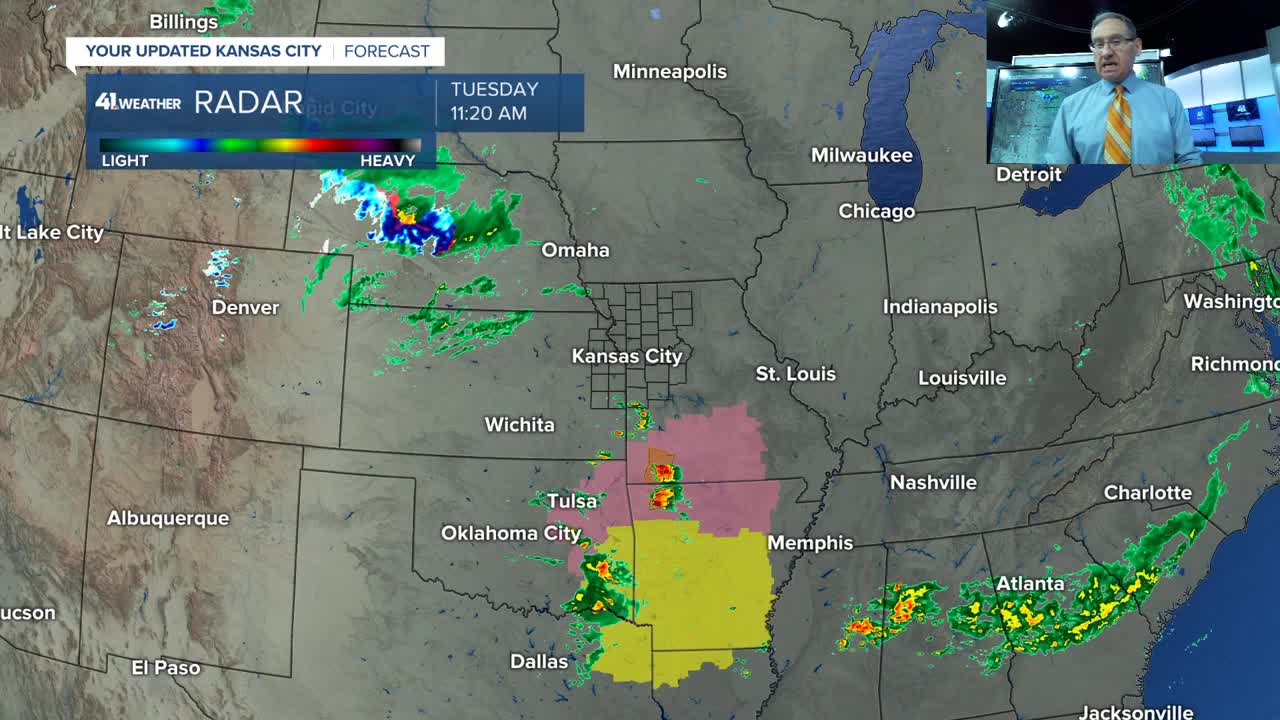
The biggest storms Tuesday are south of Kansas City, with the main severe threat being large hail. There has been tennis/softball-sized (3"-4" diameter) hail along and south of Interstate 44. A few smaller thunderstorms will cross Kansas City this afternoon, but don't be surprised if you see some smaller hail.

As of 12:15 p.m., a few showers/thunderstorms are forming from Lawrence to Ottawa. They will cross Kansas City between 12:30 p.m. and 2 p.m.

The next 10-15 days will see much less severe threats than the last 10-15 days. But we are still tracking thunderstorm chances and abnormal weather.
Details are in the 7-minute video below.
Have a great rest of your week and weekend.
Stay healthy.
—
