


KANSAS CITY, Mo. — Good Monday, bloggers,
It was a wonderful fall-like weekend with highs in the 70s and lows in the 40s to low 50s. There was no rain, of course, and we really need rain as the faucet has been basically turned off since the end of July.
RAINFALL THE LAST 30 DAYS:
Average rainfall during this period is 4"-4.25". Take a look at the radar-estimated rainfall totals around the area over the last 30 days.
Rainfall amounts are between 0.50" and 2" (your rain gauge may read differently, as these are radar-estimated totals). This is 25% to 50% of the average and lower.

When we widen out the view, you can see the dry conditions extend across much of Missouri. But when you look from northwest Missouri to eastern Kansas, there are more average rainfall totals.
When you look southwest of Emporia, there are rainfall amounts over a foot!

This dry weather has put much of our area in the "abnormally dry" category, which is one rung below a Level 1 drought.
If you look closer, a Level 1, moderate drought has popped up from Wyandotte to southern Leavenworth counties.

OK, so we have a chance of thunderstorms, but not all locations will get the rain. Will the driest areas get the rain? Let's go through this.
The upper-level flow today features a building upper-level ridge in the deep southwest U.S. We are seeing small dips in the upper-level flow. These little dips are thunderstorm-producing disturbances out ahead of the building ridge.

Now, look at the upper-level flow by Friday. We are under the influence of a heat dome/upper-level high/anticyclone/heat wave creating machine as the ridge from today builds north.
Whatever you call it, it means no rain and a big warmup.

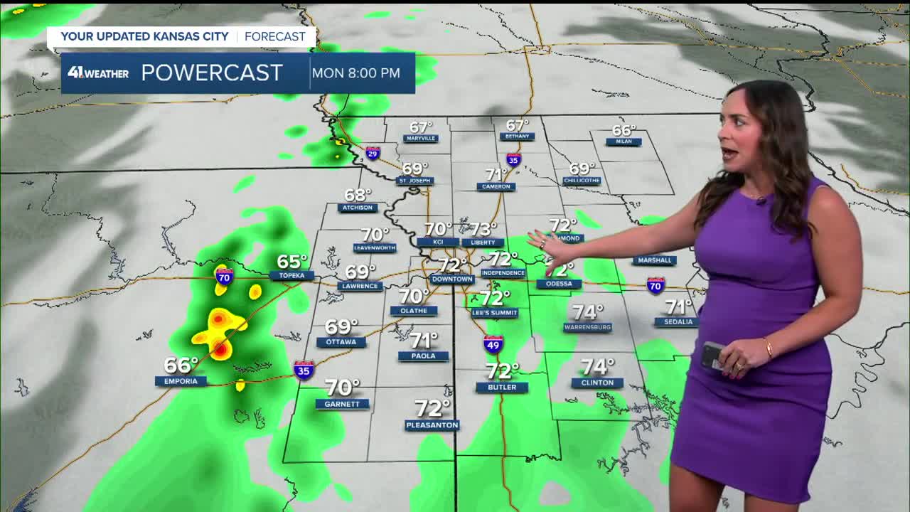
TODAY:
We are tracking a cluster of thunderstorms forming in central Kansas. This cluster will be heading east and southeast into eastern Kansas later this afternoon and evening.
The KC area will pick up a lot of clouds and perhaps a shower/T-storm, but this area will mostly fall apart as it gets here. This has been happening for 6 weeks.
Highs today will be around 80°.

TONIGHT BEFORE MIDNIGHT:
You can see the big cluster fell apart, but there are smaller areas of showers and thunderstorms. One is a thin north-south line along the state line.
The thunderstorms will not totally fall apart as they are associated with a small disturbance, the little dip seen in the upper-level flow above.

TONIGHT (MIDNIGHT)-TUESDAY (8 AM):
The disturbance will continue to track east with rain, thunderstorms increasing in coverage. But they are still struggling to get east of the state line.

TUESDAY (AFTER 8 AM):
The area of rain and thunderstorms will drift east and mostly fall apart. Highs will still be nice in the mid-70s to near 80°.

RAINFALL FORECAST TODAY-WEDNESDAY:
Well, as you can see, there is an eastern edge to the rain. This data has the eastern edge breaking into part of the dry areas as the rain makes it to the state line.
Now, the big question we are trying to answer ... where will the eastern edge of the rain end up? The data below is one of the farthest east solutions.
Hopefully, your yard or farm gets the rain it needs because Wednesday into the weekend, rain chances go way down and temperatures go way up. We will likely see highs in the 90s Friday and Saturday.

WEATHER FORECAST SUMMARY:

Have a great week ahead.
Stay healthy.
—
