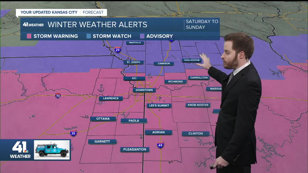
No ice or damaging winds. Widespread power outages are not expected - just a snow event Periods of heavy snowfall Brutally cold Friday-MondayThreethings.pngStorm timing and totals:
Expect the first round of snow to arrive Friday night, between 9 p.m and midnight. The snow will move from west to east into the Kansas City area.
Snow will continue to fall late Friday night through Saturday morning.
When you peek through the blinds after waking up on Saturday, don't expect a half-foot of snow.
While snow will persist through the first half of Saturday, we will likely catch a lull in the action Saturday afternoon and evening.
A second, and possibly third, round of snow will start up again late Saturday night through Sunday morning.
This later round will largely determine our snowfall totals. If the second wave of snow continues to trend southward, this would result in significantly less snow. A more northward push of the late-weekend snowfall would increase storm totals.
Snowfall_Forecast.pngThis is why the snow forecast graphic shows a wide range in snow amounts, with three to seven inches possible for most locations, including the Kansas City area. Less snow will fall from Maryville, to Bethany, Chillicothe, and Milan. Locations further south of Interstate 70 and east of Interstate 35 can expect higher snowfall totals.
Look for the last of the snow to diminish from west to east by early Sunday afternoon; snow will likely linger from Sedalia to Clinton and Butler up until 3 to 4 p.m.
Although Monday will feature ample sunshine, expect temperatures to remain below freezing through at least Tuesday. It's possible the Kansas City area does not even reach 32 degrees at all next week.
impacts.png—