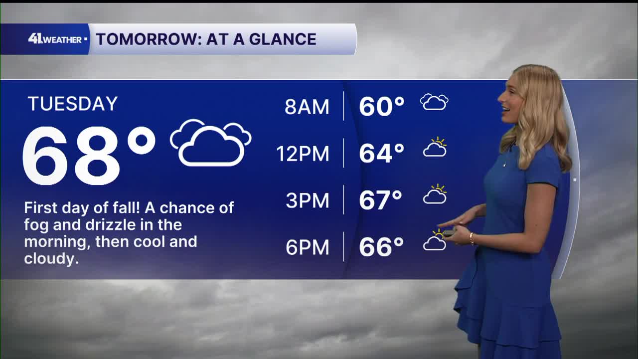


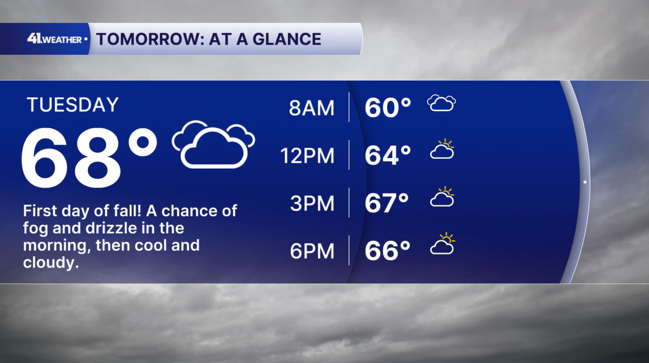
KANSAS CITY, Mo. — The first day of fall arrives on Tuesday, but our fall-like temperatures are already here.
Monday, the last day of summer, was dominated by gray skies and some drizzle. Clouds are expected to stick around Monday night and into the daytime hours on Tuesday.
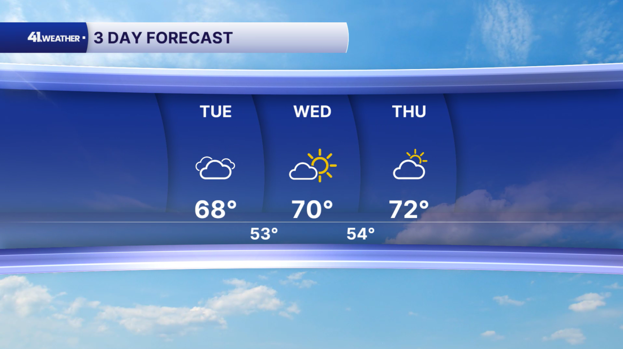
Some drizzle and patchy fog are possible Tuesday morning, but the rest of the day should be dry with highs in the upper 60s and low 70s. This could be the coolest high temperature in Kansas City since May 21st!
We finally see the sun again on Wednesday. That should result in a picture-perfect day: clear skies, a high near 70, and low humidity. It doesn't get much better than that!
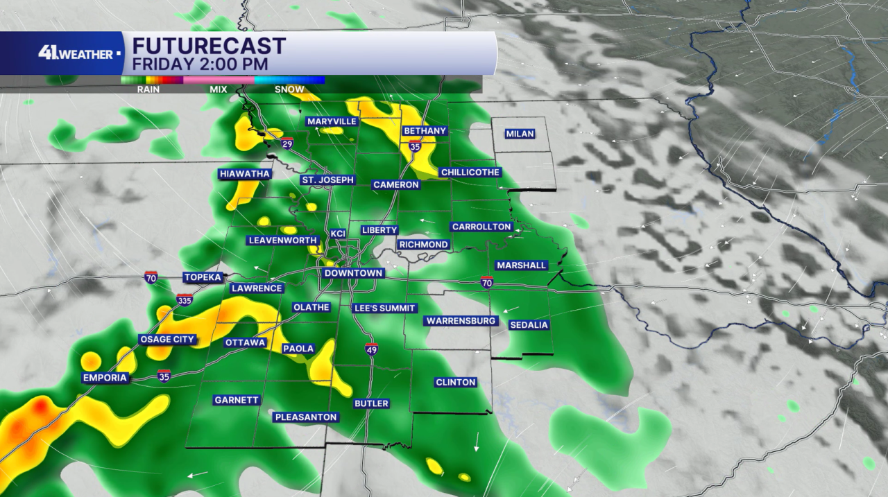
Thursday should feel very similar. Get outside this week if you can, because our next round of rain rolls in by Friday.
Rain chances pick up Thursday night and are expected to continue throughout the day for both Friday and Saturday. I don't expect to see severe weather out of this, likely more steady rain to start the weekend.
Then, the KC area starts to dry out and warm up again. Temperatures look to stay in the upper 70s and low 80s to end the weekend and start the work week. Don't worry, we won't be nearly as hot as we've been over the last few weeks! Our next cooldown will come shortly after, with some rain chances early in the week.
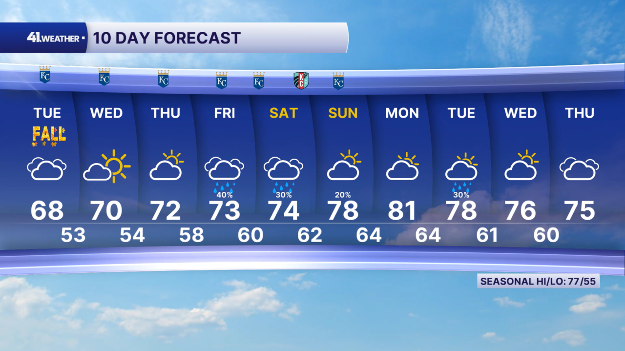
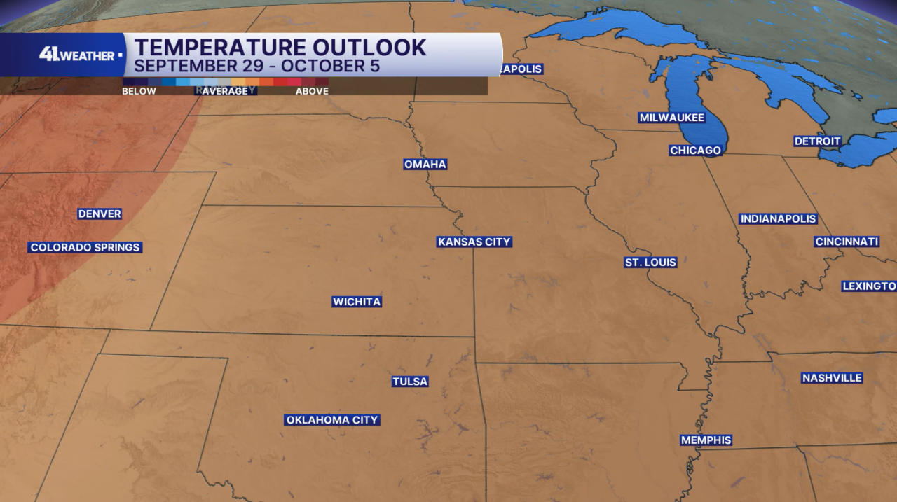
Highs should stay in the 70s for most of next week. A look at the first week of October tells us we may be slightly warmer than average, but likely nothing extreme.
Average highs in the KC area for the week of Sept. 29 to Oct. 5 range from the mid-to-low 70s.
Have a question about the forecast? I'd love to hear it! Reach out to me, and I'll answer your questions on this weather blog.

Have a great week, and enjoy our long-awaited cooler temperatures!
—