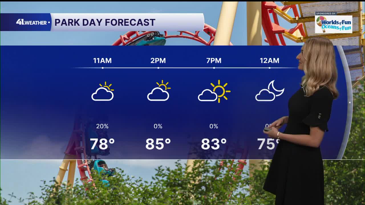


KANSAS CITY, Mo. — Happy Wednesday! You can expect a lot of ups and downs in the forecast over the next few days.
The cold front that sparked storms across the Kansas City area Tuesday evening is long gone, replaced by a warm front moving in from our south Wednesday afternoon. This will push highs back to the 90s for many of us.
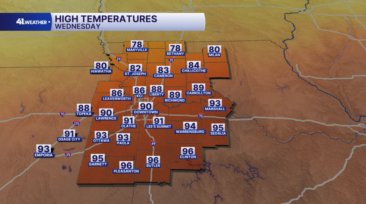
Humid air will make it feel like up to 100° Wednesday, as well as for the rest of the week. We can't shake the chance of rain completely Thursday, but the day should be mostly dry, with above-average highs in the low 90s. Friday will bring much of the same.

Another cold front makes an appearance over the weekend, which will bring two things: cooler temperatures and storm chances. Saturday will be hot and dry during the day, with increasing storm chances during the afternoon and evening hours. Rain chances are expected to continue overnight into Sunday.
The question remains if the rain will clear out before the Chiefs game Sunday evening.

And finally, what many of us (including myself) have been waiting for: cooler temperatures! Highs in the mid-70s arrive next week, just in time for the first day of fall on Tuesday.
There's a chance for some rain in the area by midweek, but most of the week should be dry and comfortable. Morning lows in the 50s, afternoons in the 70s.

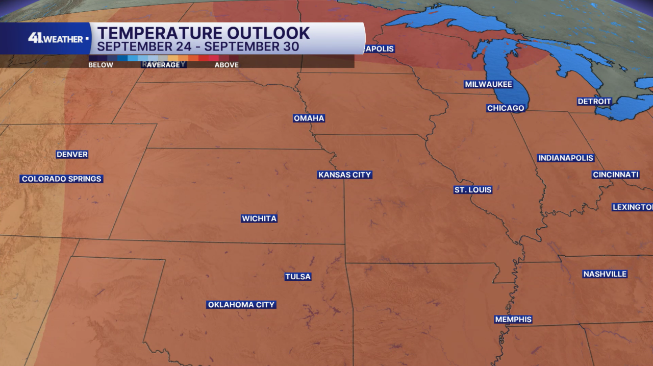
Enjoy the cooler air next week because warmer air may try to move back in by next weekend. Above-average temperatures are expected for the last week of the month.
Have a question about the forecast? I'd love to hear it! Reach out to me, and I'll answer your questions on this weather blog.

Have a great week!
—