


Have a question about Kansas City's weather? Send Lauren an email.
We've been talking all week about winter's return thanks to a series of cold fronts set to move across the Kansas City area.
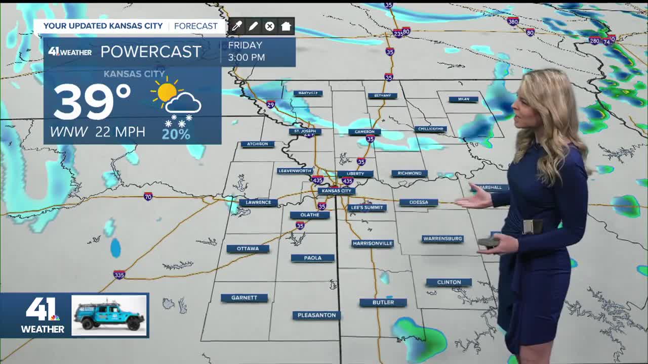
The next one is targeting our area Friday afternoon. It will set the stage for some brief snow squalls along with blustery winds that could cause some issues later this afternoon and evening.
Let's break it down:
Sometime after 2 p.m. Friday, isolated pockets of a light wintry mix of rain and snow will start to develop. The closer we get to the dinner hours and the evening commute, the roads could turn a bit dicey at times.

Strong northwest gusts up to 40 mph, combined with quick bursts of heavy snow will likely result in snow squalls.

While the heavy snow won't last long, strong winds and pockets of heavy snow bands will drastically reduce visibility to less than one mile.
There will also be elevated slick spots. Those with Friday dinner plans should build extra commute time.
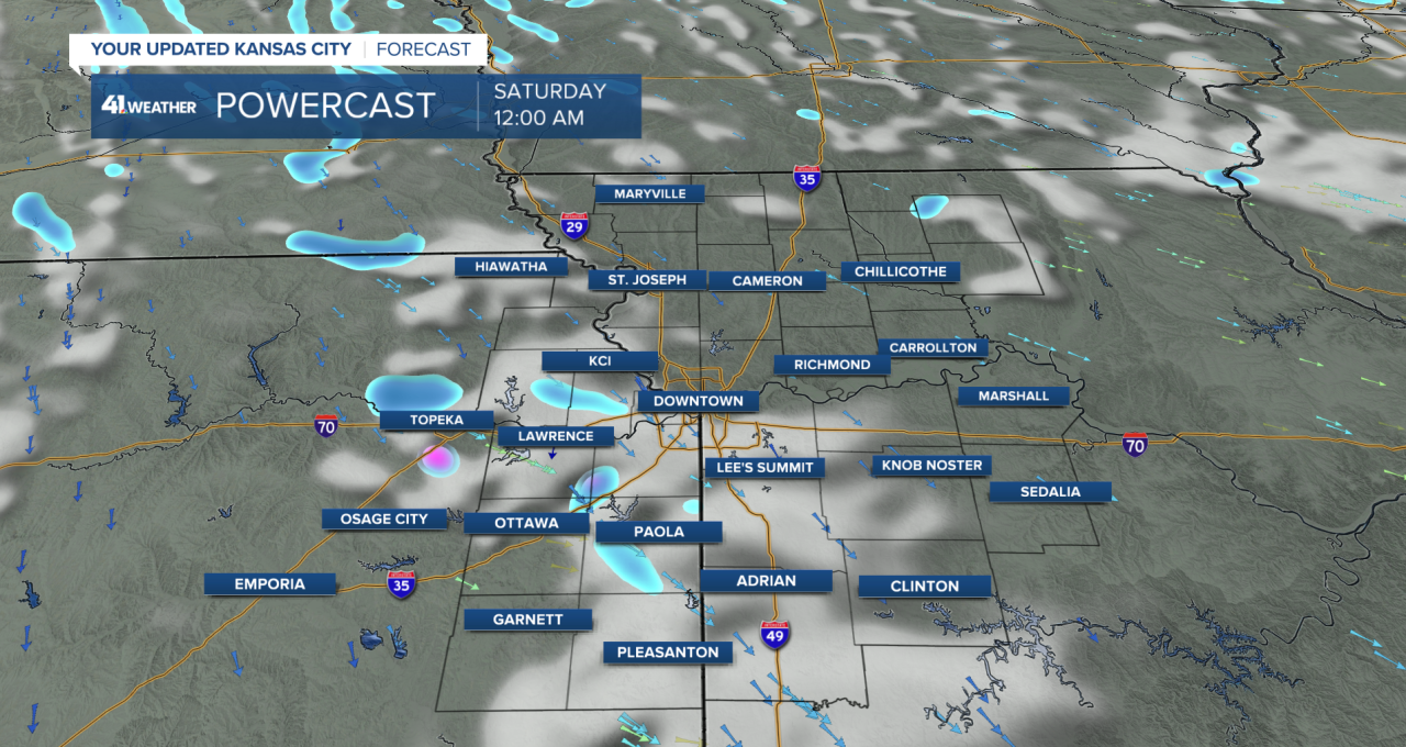
Look for on-and off-again snow showers to continue through Friday night. While light snow and flurries could linger into Saturday morning, the bulk of the snow will diminish before most wake up Saturday morning.
As for snowfall amounts from this storm, there are two main factors limiting significant accumulation: Warm ground temperatures and a layer of dry air above the surface. This is why minor snow accumulation is expected. Look for a quick dusting to a couple-tenths of an inch of accumulation.

Behind the cold front, another push of Arctic air will settle in for the weekend.
This is when the bottom will drop out. We will wake up Sunday morning to sub-zero wind chills.

Temps look to remain frigid to start out next week, though we're seeing the possibility of a run at 50-degree weather by the middle of next week.
—
