


KANSAS CITY, Mo. — Good Saturday bloggers,
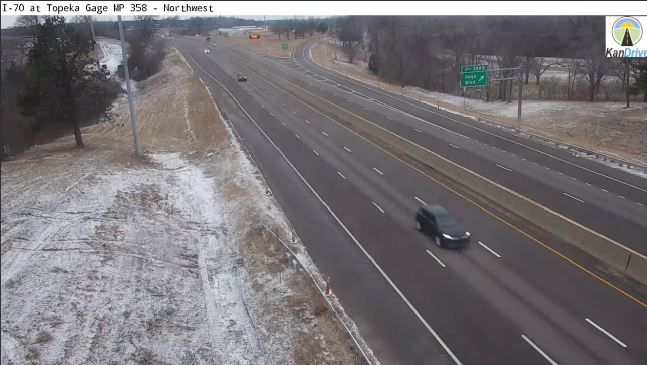
The storm became too weak to overcome dry air near the surface. So, all we saw was flurries. The nearest dusting occurred around Topeka, KS. Here is a view from Topeka on I-70 from a KanDrive camera.
Jeff Penner
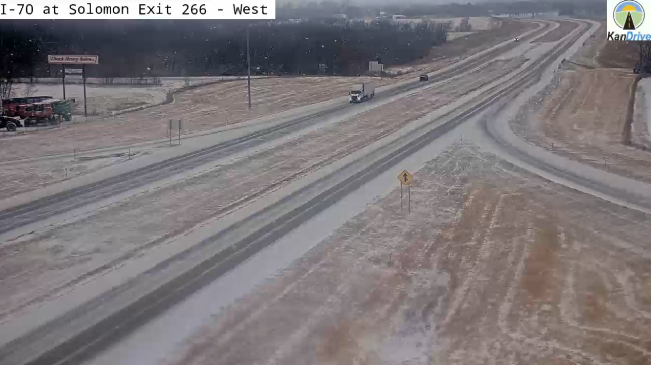
The nearest more than a dusting occurred from around Manhattan, KS to Salina, KS. Here is a KanDrive camera from around Abilene, KS. It looks like around 1" of snow accumulated.
Jeff Penner
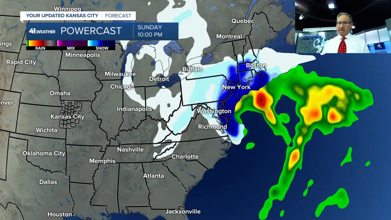
Details on this storm system and what is next are in the six and a half minute video below.
Have a great weekend
Stay healthy
KAHB 41 Weather Blog I Struggling Snow, Another Cold Front, a Warm Up
