


Happy 4th of July bloggers,
The weather for this 4th of July is somewhat disorganized which does not make the forecast easy on a day where dry weather is preferred. We are tracking 2-3 upper level disturbances that are making their way across Kansas this early 4th of July morning. They are heading our way, but the models are all over the place on where these disturbances will create their thunderstorms. So, sometimes you have to abandon the models and look at the satellite and radar and outside. You need to do that in any case when making a forecast as never rely on the computer data alone.
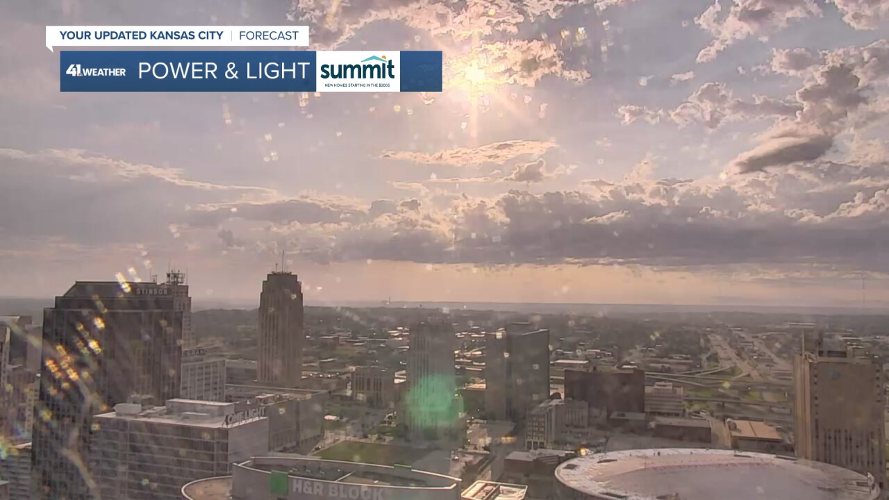
So, looking outside to the east where the weather is "heading to" it is partly cloudy and pleasant looking.
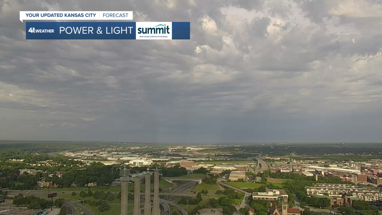
When we look to the west, where the weather is "coming from" it looks more stormy with a rain shaft on the western horizon.
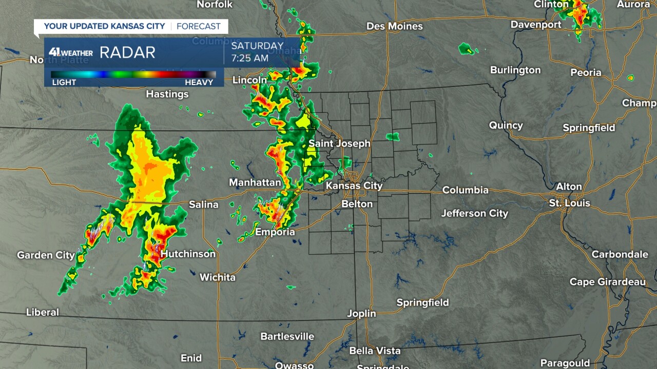
When we look at radar we can see 2 main areas of rain and thunderstorms associated with the disturbances. So, we definitely have to keep showers and thunderstorms in the forecast today.
Details on the chance of showers and thunderstorms on this 4th of July 2026 are in the five and a half minute video below.
Have a happy and safe 4th of July.
Please do NOT drink/text and drive as there is a Driving while Texting/Drinking warning in effect in memory of all of those who have been injured/killed in drunk/texting while driving incidents.
