


Good Sunday, bloggers,
After a rainy Valentine's Day, we are starting Sunday with low clouds and patchy dense fog. The picture below is from the top of the Power & Light building, which is 481 feet tall.
These are very low clouds and not fog. There are locations around the area that have near-zero visibility.
Regardless of where the fog is located, all locations will break out into sunshine today, leading to highs in the low to mid-60s.

Jeff Penner
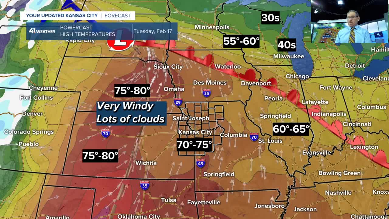
We will start the week with temperatures 25-35 degrees above average! But temperatures will drop to near 5-10 degrees below average at the end of the week/weekend.
Could this lead to snow?
Details are in the 5 1/2-minute video below.
Have a great week ahead.
Stay healthy.
KSHB 41 Weather Blog I Unseasonably Warm to more Like February
—
