


Good Monday, bloggers,
We are looking at some spectacular weather today and part of Tuesday.
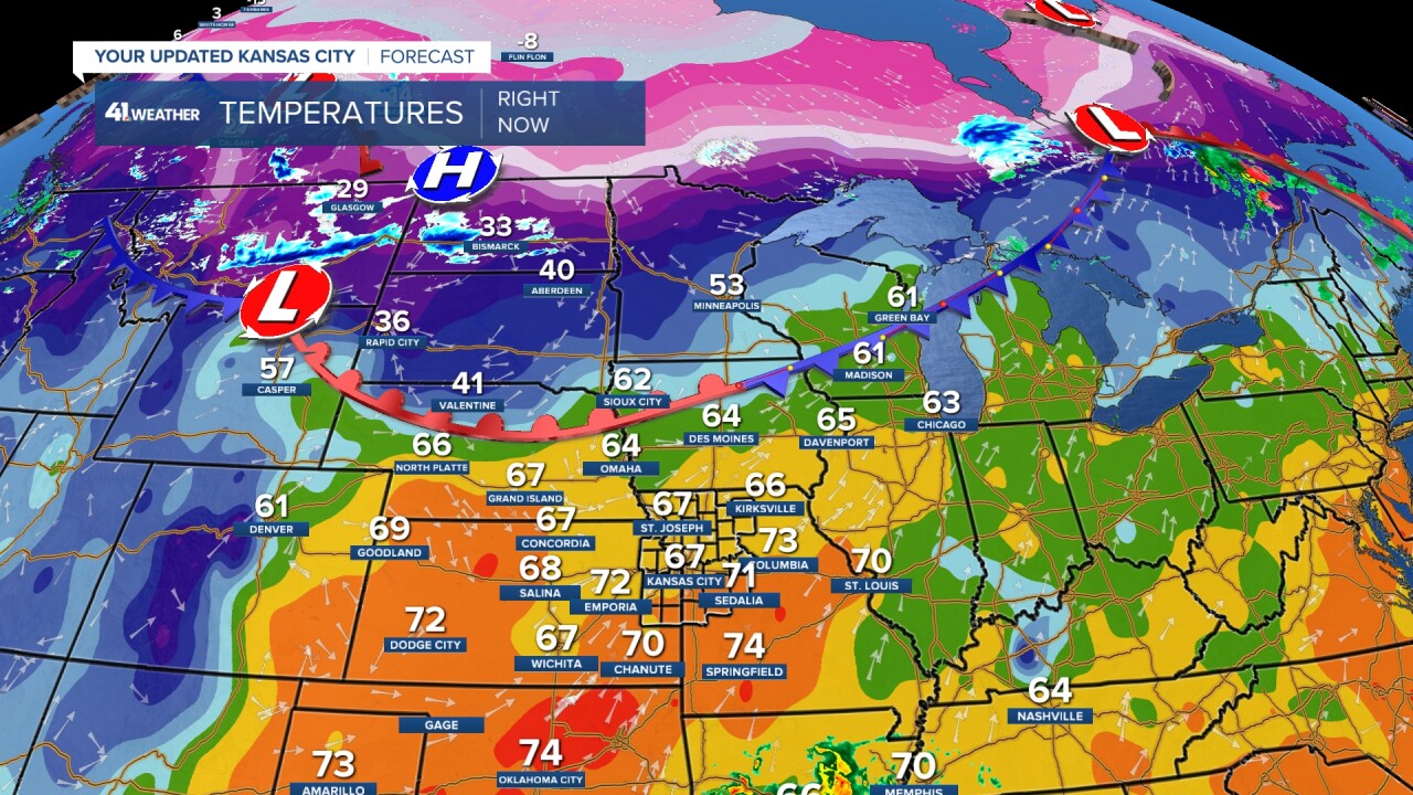
Highs will be around 80° both days, but the best chance to break a record is today, as the record is 77°. The record for Tuesday is 84°.
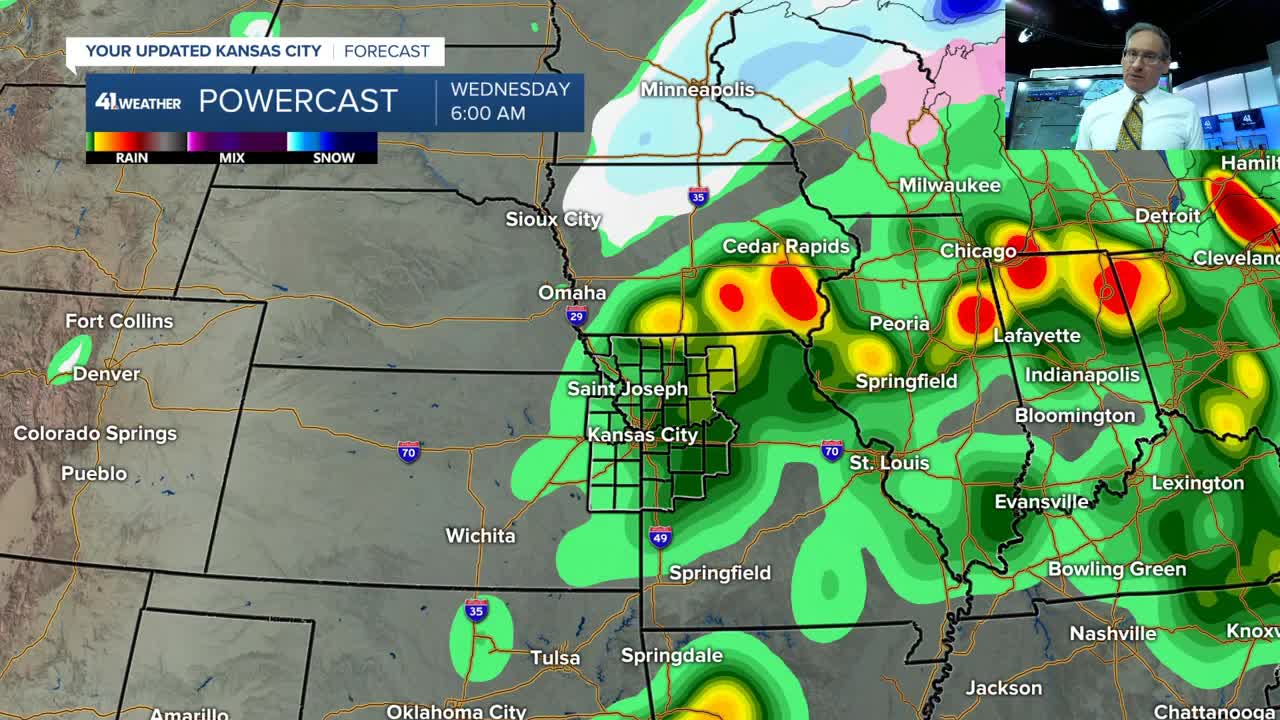
When you have that kind of warmth, add Gulf moisture and have a trigger, you get thunderstorms with a severe threat. When you get thunderstorms tracking over the same location for 1-3 hours, you can get flash flooding.
Well, we have the triggers and the setup for all of the above later tomorrow and tomorrow night.
There are 3 triggers. At the surface, the front that is to our north today will be in our area Tuesday.
A stream of energy entering the Pacific Northwest will track southeast as an upper low, now in northern Baja, California, tracks northeast into our area Tuesday.
They will combine east of here, but we will be in the storm-forming area.

Here is a summary of the situation tomorrow.

Details on the weather situation for Tuesday into Wednesday are in the six-and-a-half-minute video below.
Have a great week ahead.
Stay healthy.
Stay with KSHB 41, and we'll keep you advised.
—
