


Good Tuesday, bloggers,
TUESDAY EVENING UPDATE:
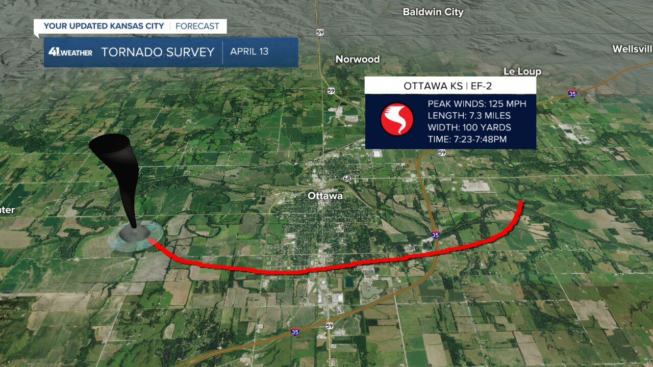
Here are the surveys for the tornadoes last night. Thank you Wes Peery for putting this together. There were 2 EF2's. One in Ottawa and one in Hillsdale. They came from the same supercell.
There was an EF0 in Quenemo and an EF 1 in Blue Mound, KS. There was a small one in north Blue Mound not yet rated at the same time as the EF 1. So, yes 2 tornadoes from 1 storm. There was one near Spring Hill that is not rated. So, 5-6 tornadoes Monday night.


Now, what about tonight?
There are growing signs that we may not see much until after 10-11 PM and the severe threats will be lower with hail & gusty winds the main threat.
———————————————————————————————————————————————————TUESDAY AFTERNOON UPDATE:
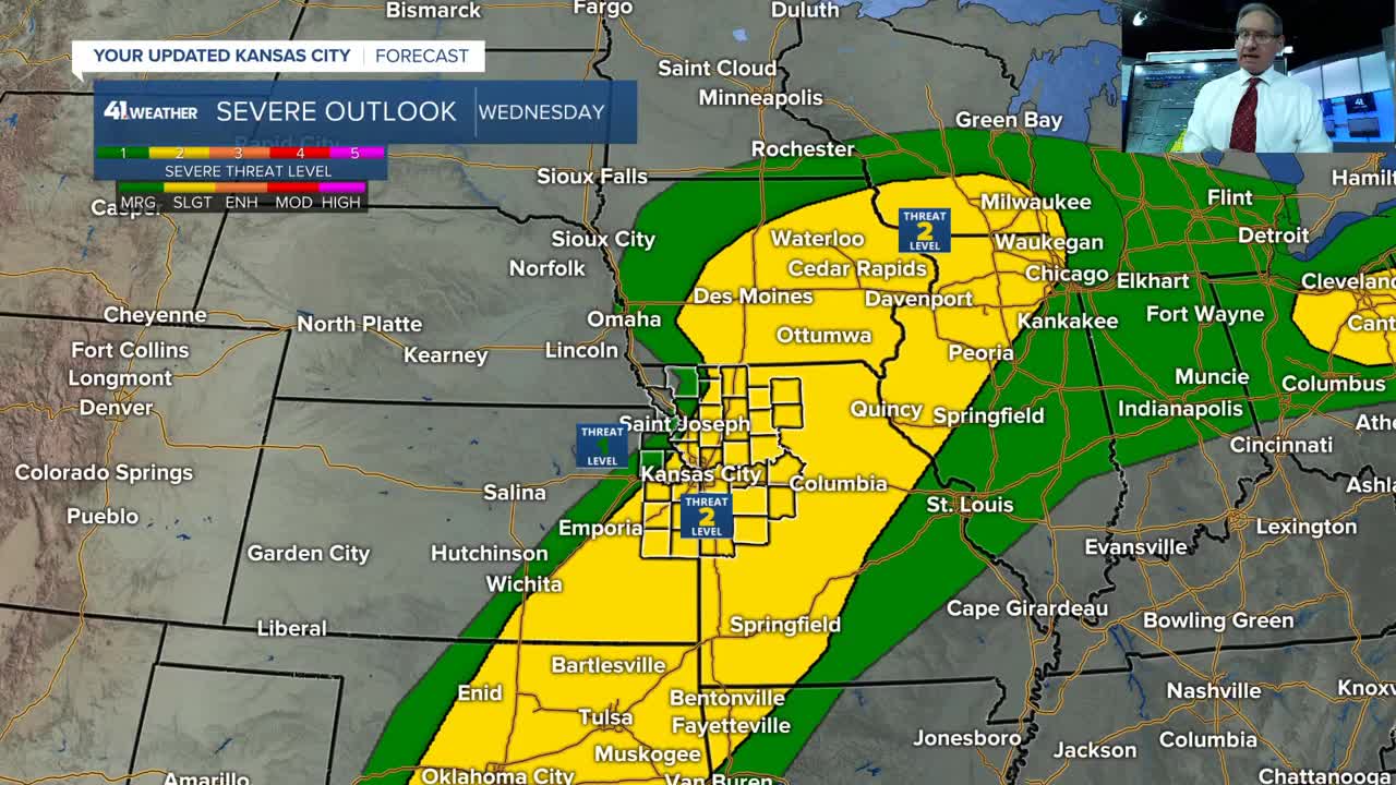
One severe threat down, three more to go. They are timed for this evening and night; Wednesday afternoon and evening; and Friday afternoon, evening and night.
Before we get to the next three events, here are a few pictures from last night. Thank you to everyone who sent pics in.
I want to thank Kyle Delphia for these incredible tornado shots he took off I-69 between Paola and Spring Hill.
"The sound from the tornado was unbelievable," Delphia said.
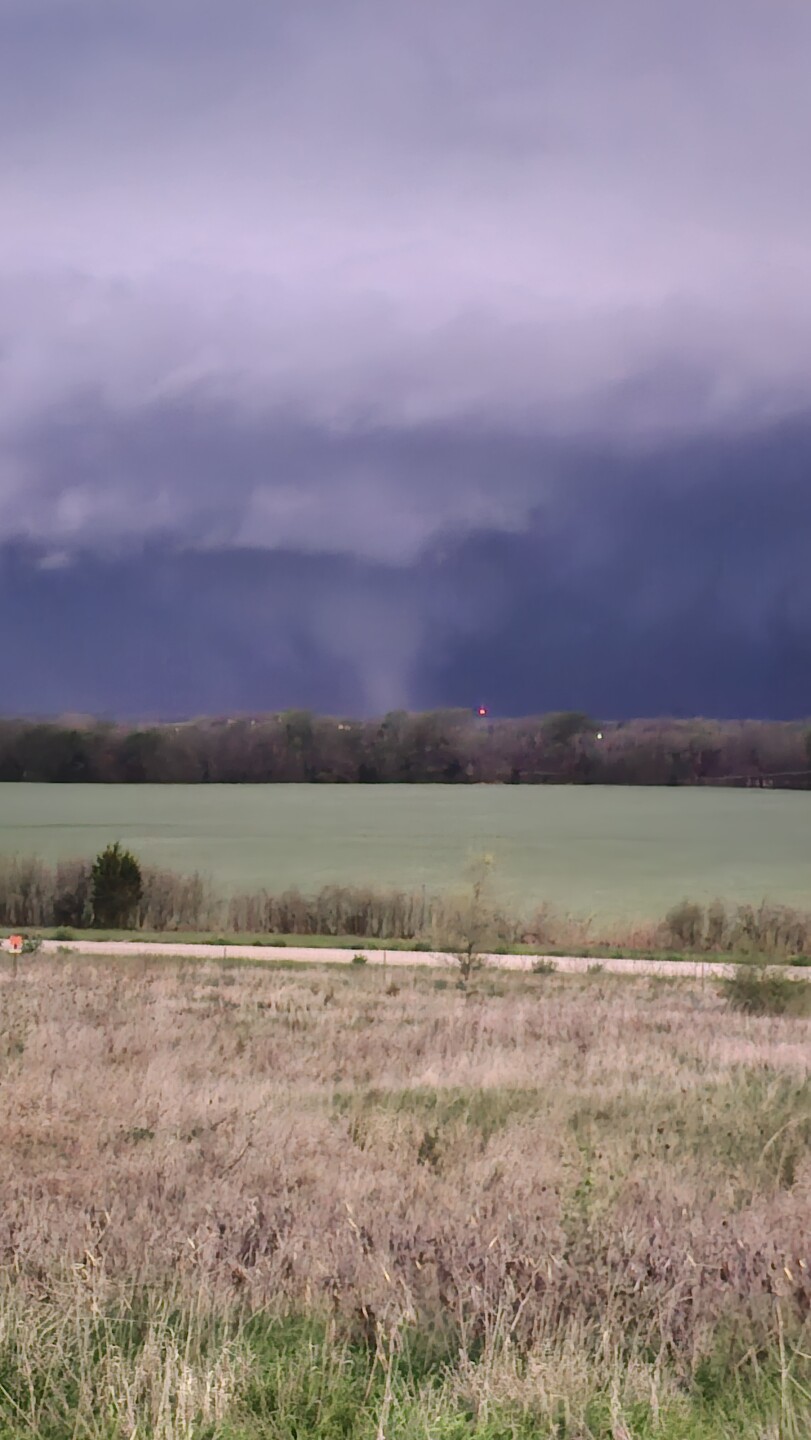


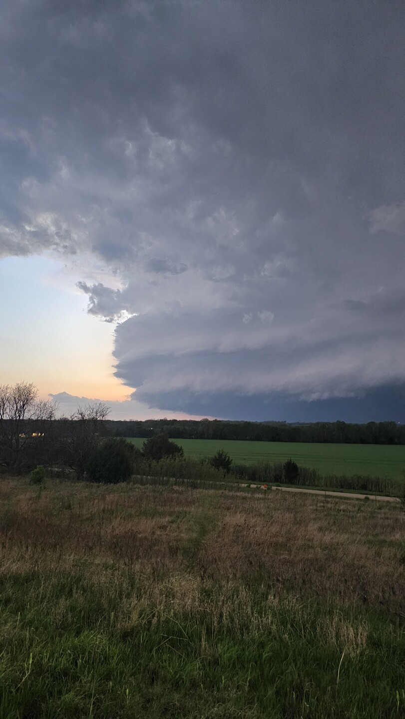
I want to thank Erin Hultgren for sending these incredible pics from around 274th and Osawatomie Road near Hillsdale Lake.

Here are three radar pics from the three big supercells we tracked. You just don't see this that often in our area.
We didn't even need to analyze the velocity, as the hooks were very impressive.
The first is from Hillsdale.

The second is from Ottawa.

The third is from Mound City/Pleasanton.

What a night! Wow.
Details on the next three severe weather threats are in the 6-minute video below.
Have a great week ahead.
Stay healthy.
Stay with KSHB 41, and we'll keep you advised.
—