


Good Tuesday, bloggers,
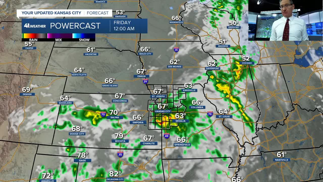
We are tracking a cold front that will move into our area 4-5 p.m.
There is a window of opportunity for thunderstorms to form on the front as it is moving by and to our south between 5–10 p.m. If thunderstorms form, some may be low-end severe with hail and gusty winds.
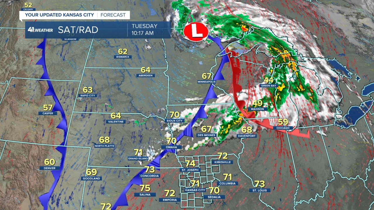
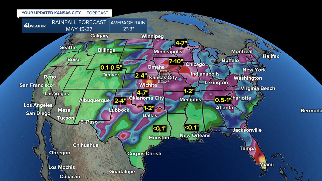
We are also still tracking the return of an active weather pattern.
We are confident that a lot of rain is headed our way for the second half of May. We are not confident on the timing of thunderstorms and severe weather threats.
These items will need to be dealt with no more than 1-2 days in advance.
Details on the potential evening thunderstorms and the active weather pattern around the corner are in the 5 1/2-minute video below.
Have a great rest of your week.
Stay healthy.
—
