

LINK | Latest radar
WEATHER HEADLINES
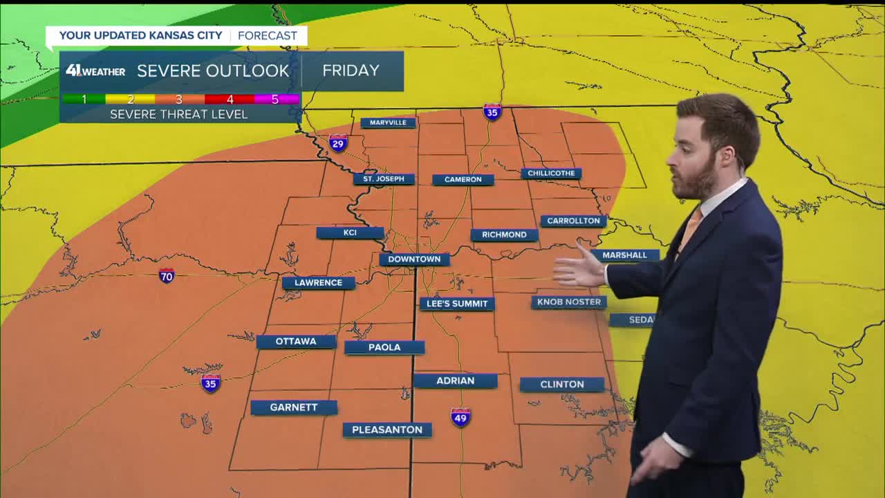
- Storms ramp up late tonight which might have some hail
- Watching for the potential of storm clusters to move through Friday evening, which could be severe
- The final wave of storms would come along the cold front later Friday night, which may also be strong to severe
KANSAS CITY'S FORECAST
Thursday night: Temperatures rising through the night. Scattered showers and storms.
Low: 60°
Wind: SE 10-20 gusting to 30 mph
Friday: Some sun may break out at times. Evening thunderstorms will be possible, and again closer to midnight. If these rounds materialize, they will be capable of damaging winds, hail and tornadoes.
High: 70°
Wind: S 15-25 mph
Saturday: Fewer clouds throughout the day. Cooler.
Low: 39°
High: 54°
Wind: NW 10-15 mph
Get more updates from our weather team:
View our interactive radar
Read our Weather Blog
Check out the current conditions in our area
