

KANSAS CITY, Mo. — WEATHER HEADLINES
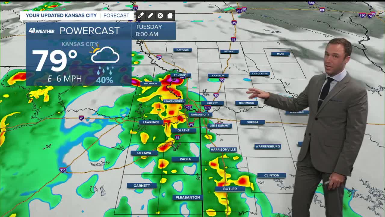
- Rain looking more likely Tuesday morning, commute impacts possible
- Heavier rain chances Thursday-Friday
- Lows in the 60s this weekend
KANSAS CITY'S FORECAST
Tonight: Increasing clouds and rain chances after midnight. Storms may mix with the rain showers.
Low: 77°
Wind: SSW 5-10 mph
Tuesday: Showers likely in the morning, possibly lingering in the afternoon. Trying to warm up after the rain, humid.
High: 87°
Wind: ENE 5-15 mph
Wednesday: Mostly cloudy, warm and humid with a chance for a few showers and thunderstorms.
Low: 74°
High: 89°
Wind: ENE 5-15 mph
Get more updates from our weather team:
View our interactive radar