

WEATHER HEADLINES
- Storms may persist late tonight in northern Missouri (a few strong to severe)
- Saturday evening and night will again bring the chance for storms mainly north of Kansas City
- Monday has the potential for notable severe weather across the area
KANSAS CITY'S FORECAST
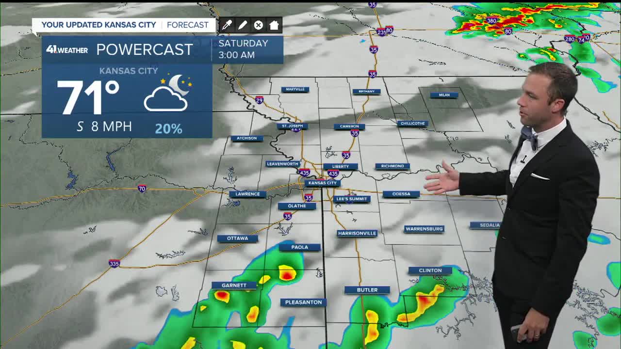
Friday night: Scattered showers and storms possible, low chance for severe weather.
Low: 65°
Wind: S 5-10 mph
Saturday: Rain with rumbles of thunder may be ongoing at dawn. Partly cloudy through the rest of the day. The evening could bring some storms in northern Missouri.
High: 87°
Wind: S 5-15 mph
Sunday: Most of the rain and storms should stay north of our area. Partly cloudy and still hot.
Low: 68°
High: 88°
Wind: S 15-30 mph
Get more updates from our weather team:
View our interactive radar
