

WEATHER HEADLINES
- A little cooler but still humid for the weekend
- Back near 90 early next week with heat indices near 100
- A stronger cold front later next week knocks temperatures to the lower 80s
KANSAS CITY'S FORECAST
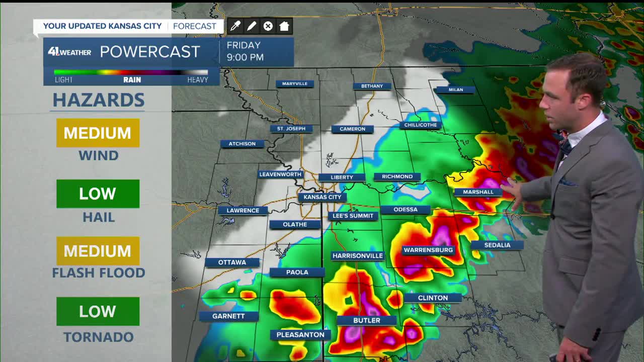
Tonight: Rain and storms taper off by midnight leaving some lingering clouds and very muggy conditions.
Wind: S-SW to N-NW 10 mph
Low: 69º
Saturday: Partly to mostly cloudy and humid, even though temperatures are not as hot. Rain chances are very minimal.
Wind: W to N 5-10 mph
High: 84º
Sunday: Partly to mostly cloudy and humid with a slight chance for a shower or thunderstorm
Wind: S-SE 5-15 mph
Low: 68º High: 86º
Get more updates from our weather team:
View our interactive radar
Read our Weather Blog
Check out the current conditions in our area
The KSHB 41 Weather Storm Shield is a life-saving app that acts like an NOAA Emergency Weather Radio on your iPhone or Android phone. You will receive critical alerts via voice and push notification regarding major, potentially life-threatening weather events.
