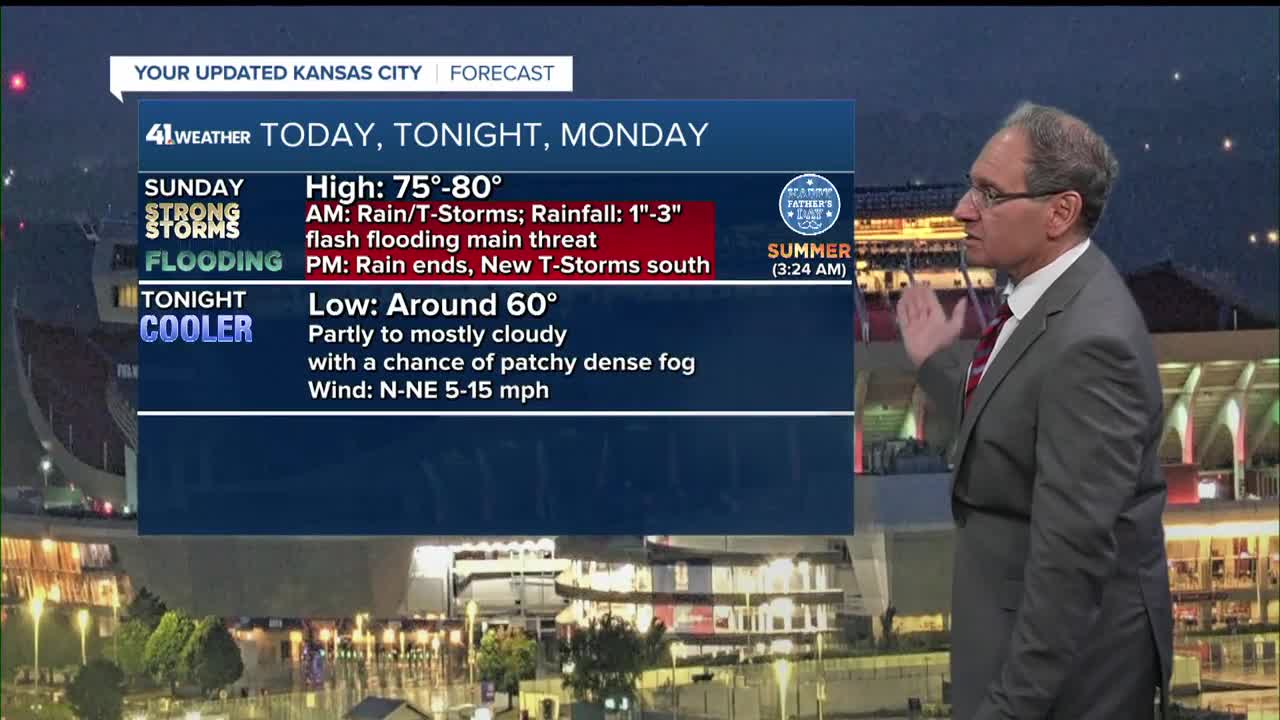


WEATHER HEADLINES
- Rain and thunderstorms end around noon with flash flooding the main threat
- Other thunderstorms may form on Sunday afternoon mainly south of KC by 50 miles
- Mostly dry Monday and Tuesday, then increasing rain and thunderstorm chances
KANSAS CITY'S FORECAST
Sunday: Rain and thunderstorms end around noon with flash flooding the main threat. This afternoon new thunderstorms will form, mainly south of KC by as much as 50 miles. Some of these thunderstorms may be severe.
High: 79°
Wind: W to N 10-15 mph
Sunday Night: Partly to mostly cloudy, calmer and cooler. A chance of patchy dense fog.
Low: 58°
Wind: NE 10-15 mph
Monday: Cooler and mostly cloudy. More sun is possible by afternoon.
High: 74°
Wind: NE 10 mph
Tuesday: A nice day under a partly cloudy sky.
Low: 59°
High: 79°
Wind: E-SE 5-15 mph
Get more updates from our weather team:
View our interactive radar
