

KANSAS CITY, Mo. — Hosting an event or gathering? Send your weather question to Lauren, Wes, Jeff, Caleb and Jade by sending an email to weather@kshb.com.
—
WEATHER HEADLINES
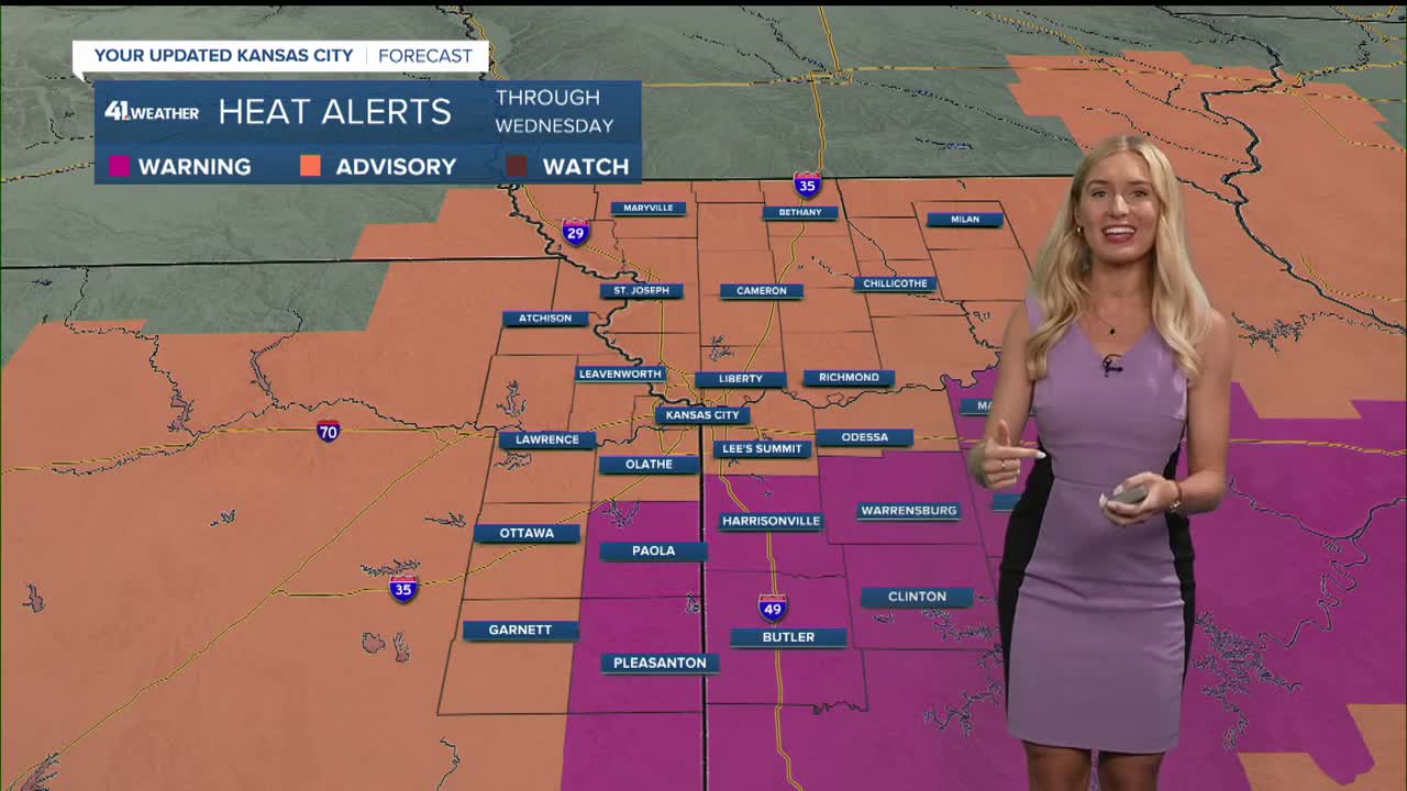
- Heat Advisories and Extreme Heat Warnings in effect through midweek
- A heat index over 100° is expected from Sunday through Wednesday
- Showers and thunderstorms may become more common by the end of the week
KANSAS CITY'S FORECAST
Sunday night: Warm and muggy with a few showers and thunderstorms possible, mainly after midnight.
Low: 77°
Wind: S 10-15 mph
Monday: A few morning showers and thunderstorms are possible then partly cloudy, hot and humid.
High: 94° (Heat Index: 105°-110°)
Wind: S 10-20 mph
Tuesday: Partly cloudy, hot and humid.
Low: 77°
High: 96° (Heat Index: 105°-110°)
Wind: SW 5-15 mph
Get more updates from our weather team:
View our interactive radar