

WEATHER HEADLINES
- Colder tomorrow with rain arriving in the afternoon
- The rain will mix with sleet and snow at times into the evening and night
- No accumulations expected in Kansas City, but roads could be slippery
KANSAS CITY'S FORECAST
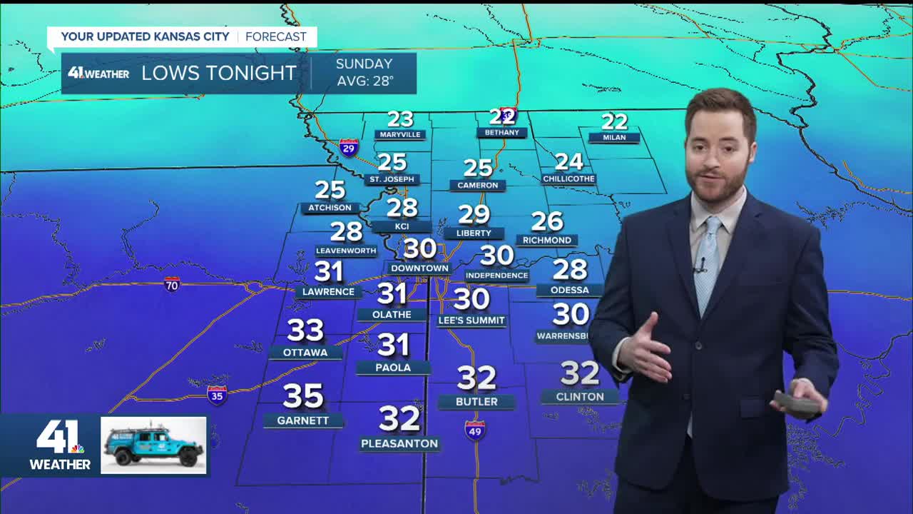
Saturday night: Getting colder. Clouds move in.
Low: 28°
Wind: NE 10-15 mph
Sunday: Rain and a wintry mix will begin in the afternoon. Rain/sleet/snow will continue into the evening and will end Sunday night.
High: 39°
Wind: E 10-15 mph
Monday: Rain departs early in the morning. A few showers could return in the evening.
Low: 31°
High: 45°
Wind: E 10 mph
Get more updates from our weather team:
View our interactive radar
