

WEATHER HEADLINES
- Snow will be fairly continuous this evening and tonight
- Wind chills overnight of -5° to -15°
- Some sun will make it out on Sunday afternoon
KANSAS CITY'S FORECAST
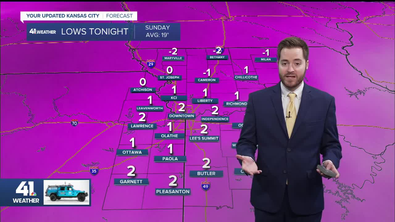
Saturday night: Expect snow through most of the night.
Low: 1°
Wind: NE 5-10 mph
Sunday: The snow will end during the morning, perhaps close to midday. Some sunshine may break out for the afternoon.
High: 14°
Wind: N 10 mph
Monday: Coldest morning thus far. Sunshine throughout the day but still bitter.
Low: -3°
High: 19°
Wind: SW 15 mph
Get more updates from our weather team:
View our interactive radar
