



KANSAS CITY, Mo. — Hosting an event or gathering? Send your weather question to Lauren, Wes, Caleb and Jade by sending an email to weather@kshb.com.
—
WEATHER HEADLINES
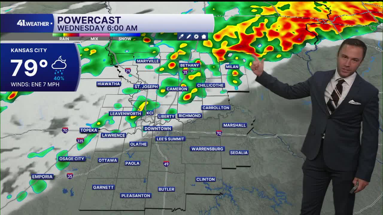
- Scattered showers arrive by Wednesday morning
- Heavy rain, strong storms possible Wednesday night
- Staying active with rain chances and cooler temperatures for at least the next week
KANSAS CITY'S FORECAST
Tuesday night: Clouds increase. A slight chance of storms after midnight.
Low: 77°
Wind: S 5-10 mph
Wednesday: A cold front arrives, bringing cooler temperatures as well as showers and storms throughout the day. Some storms could be strong to severe in the afternoon. Heavy rain possible overnight.
High: 87°
Wind: N 10-15 mph
Thursday: A few early morning storms possibly. Then, gradually clearing into the afternoon with cooler temperatures.
Low: 68°
High: 83°
Wind: N 5-10 mph
Get more updates from our weather team:
View our interactive radar
