

WEATHER HEADLINES
- New thunderstorms after midnight, heaviest north and northeast Missouri
- Hottest days this week will be Tuesday and Wednesday
- Hot with thunderstorm chances at the end of the week
KANSAS CITY'S FORECAST
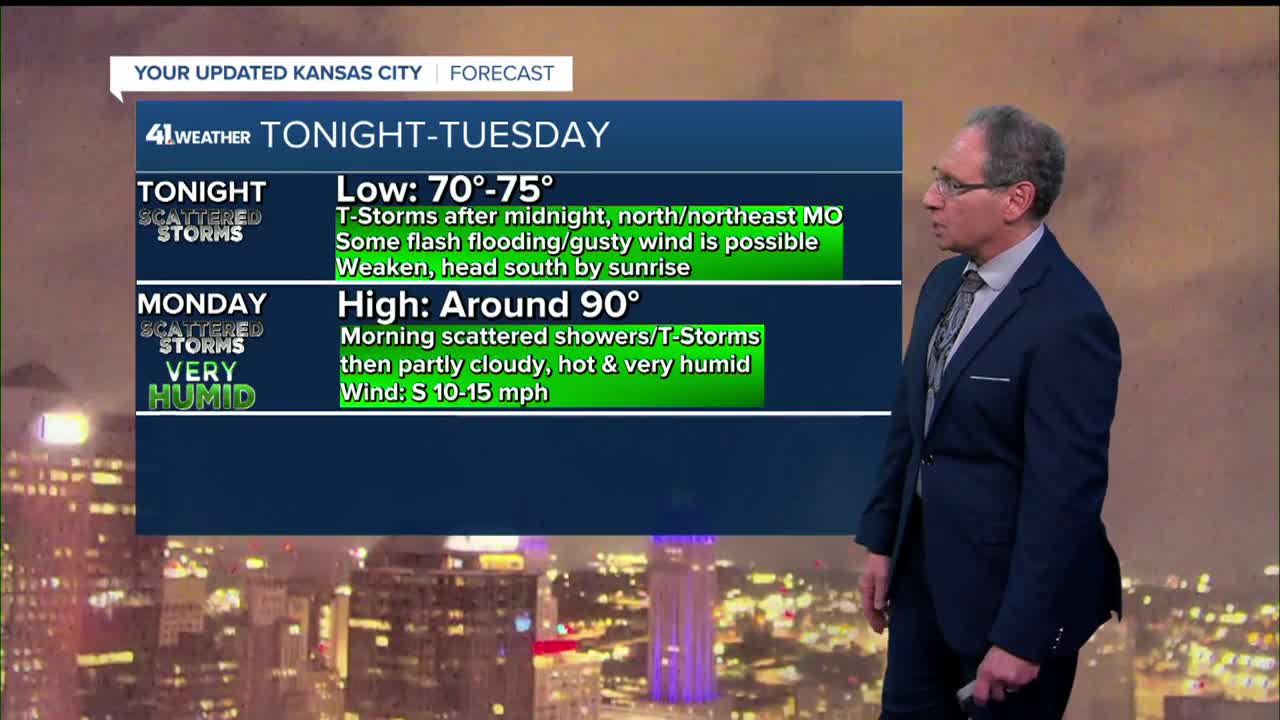
Tonight: New thunderstorms are likely after midnight. They will likely first form in north and northeast Missouri. This is where the best chance of flash flooding and strong wind gusts are located. The thunderstorms will head south to around I-70 and weaken some by sunrise.
Wind: Gusts 30-50 mph in T-Storms
Low: 73º
Monday: Showers and thunderstorms end during the morning, then partly to mostly sunny, hot & humid.
Wind: S-SW 10-15 mph
High: 90º
Heat Index: 102º
Tuesday: The heat increases with little to no chance of scattered thunderstorms. Mostly sunny, hot & humid with dangerous heat indices.
Wind: S-SW 10-20 mph
Low: 76º High: 95º
Heat Index: 108º
Wednesday: Mostly sunny, hot & humid with dangerous heat indices.
Wind: S-SW 10-20 mph
Low: 78º High: 94º
Heat Index: 110º
Get more updates from our weather team:
View our interactive radar
Read our Weather Blog
Check out the current conditions in our area
The KSHB 41 Weather Storm Shield is a life-saving app that acts like an NOAA Emergency Weather Radio on your iPhone or Android phone. You will receive critical alerts via voice and push notification regarding major, potentially life-threatening weather events.
