

KANSAS CITY, Mo. — Good Sunday bloggers,
The weather is calm after quite an active Thursday and Friday. The heavy rain that occurred evened out the rainfall totals for the summer around the region.
June 2021 Rainfall:
It was rather wet for most locations with northern Missouri seeing way too much rain. Chillicothe received over a foot of rain. Kansas City, Missouri, officially received 7.12 inches which is nearly two inches above average rainfall for June.
Rainfall amounts were lowest south of the river.

July 2021 Rainfall:
Overall, it was a much drier month than June. Northern Missouri was still the recipient of the most rain. Kirksville had over 10 inches of rain with Chillicothe seeing close to five inches of rain. This brought the June through July rainfall total at those cities to 17.28 inches.
South of the river was still the driest. Olathe's June through July rainfall total was 5.81 inches with the Plaza seeing 6.59 inches for June and July.

August 2021 Rainfall:
The big rain event on Thursday through Friday targeted the driest locations south of the river. The rainfall has been much less north of the river.
When you add the Aug. rainfall, so far, the totals are more even.
Chillicothe: 18.58"
Kirksville: 18.42"
KCI Airport: 12.73" (Official KC total)
South OP: 12.38"
Olathe: 11.42"
KSHB (Plaza): 8.50"

What is next? Let's go through the forecast.
TODAY-TUESDAY:
High heat will be found across the northern Plains as Florida deals with a tropical storm. We will be in between with some "just right" weather. A "Goldilox" weather pattern. Highs will be 85-90 with lows in the 60s. The humidity will increase Monday and Tuesday.

WEDNESDAY:
A small upper level system will track northeast from the southern Plains. This will bring a chance of scattered showers and thunderstorms Wednesday into early Thursday. The new data does not have much rain with this system as it is mostly well south. We will watch this as a slight shift north, then we have a better chance of at least scattered showers and thunderstorms. The data yesterday was farther north and more impressive with the storm system.
Highs will be in the mid 80s as there will likely be more clouds, even if there is no rain.

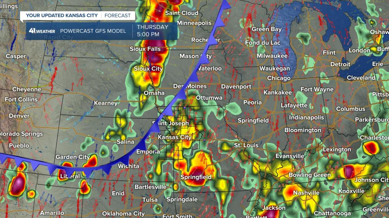
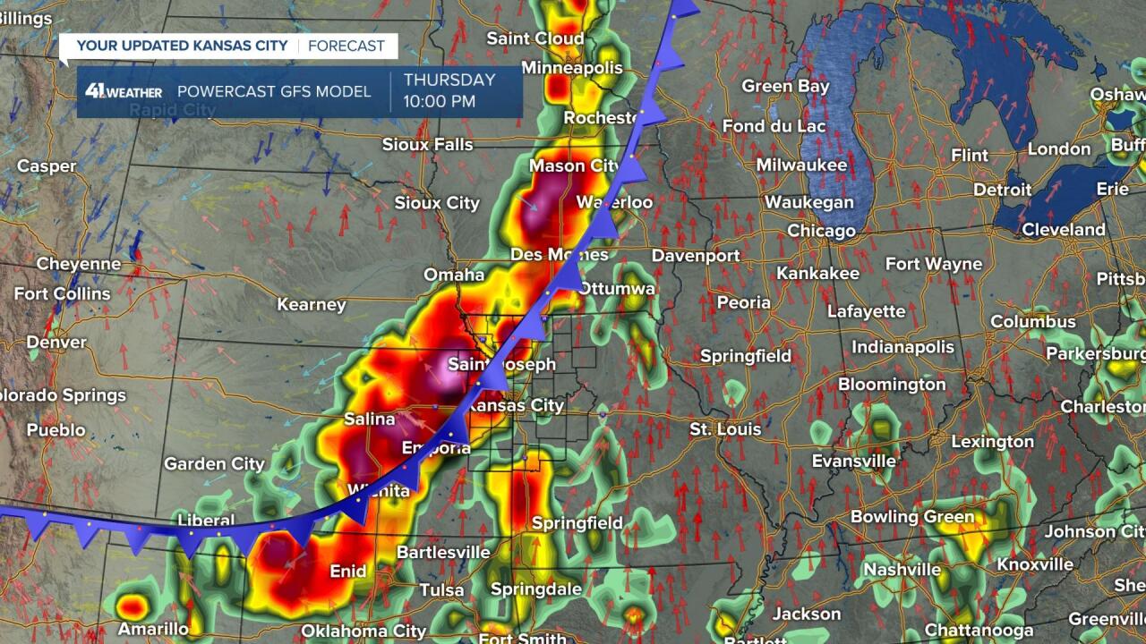
THURSDAY-FRIDAY:
As it stands now these are the days with our best chance of thunderstorms as we track a new system from the west along with a cold front. Some locations will see too much rain, others not enough. The exact location of the heaviest rain will not be determined until we get hours before it occurs. Some severe weather is not out of the question.
Highs will be mostly in the 80s. Behind the front highs will drop to the low and mid 80s as it is not a strong cold front.
------------------------------------------------------------------------------------------------------------------------------
TROPICAL UPDATE:
Fred has emerged from Cuba and has become a tropical storm again after being downgraded to remnants.
Grace is now entering the Caribbean Sea as a weak tropical storm

TROPICAL STORM FRED:
Fred will make landfall in the western Florida panhandle later Monday to early Tuesday as a tropical storm with around 50 mph winds. After landfall, Fred will track into the southeast USA to Tennessee Valley before falling apart in the eastern USA. It will stay well east of our region.

TROPICAL STORM GRACE:
Grace will track west over the Caribbean islands which will keep Grace weak. Unfortunately, Grace will affect earthquake ravaged Haiti around Tuesday. Grace will then enter the Gulf of Mexico Wednesday-Friday as a tropical storm. Latest data has Grace staying rather weak as it heads west to north Mexico. There is uncertainty about Grace after it exits the Caribbean.

Have a great week and stay healthy.
