


Good Sunday bloggers and Happy Father's day,
Summer begins at 10:32 PM tonight with today and Monday having the longest daylight of the year. The sun is up for 14 hours and 55 minutes.
We are beginning summer, of all things, with a strong cold front. Also, we are ending Spring with some odd rainfall patterns which is not the biggest help for a widespread rain event.
Let's go through this.
Here is the radar estimated rainfall between 7 AM Saturday and 7 AM Sunday. There was a band of 3" to 7" of rain from south of Chillicothe to north of Columbia, MO as thunderstorms built west, while moving east. There was .50"-2" of rain in northwest Missouri from an area of thunderstorms to our west that tracked northeast.
You can see on the wide view of the radar estimated rainfall how the rain effectively went around KC.

The closer in view shows the "too much of a good thing" rain from Chillicothe to Columbia, MO. Most of the rain fell in a 3-4 hour period!

This is the updated rainfall total list for June through 7 AM today. Chillicothe, MO moved to the top of the list with 2.06" of rain last night. This is still well below average for the month. Olathe is still sitting at a trace. There are parts of Olathe that have seen .25-1". Still quite dry.

Now, there is a silver lining to missing thunderstorms. We avoided damaging winds, hail and flash flooding. Our viewing area was protected from severe weather. This has been happening all spring, so this fits the pattern. This pattern has brought timely rain without severe weather. Hopefully, that will occur once or twice the next 10 days.

Now to the forecast.
TODAY:
A small disturbance brought scattered showers and a few thunderstorms during the morning. Amounts were a trace to .25" and mostly north of I-70.

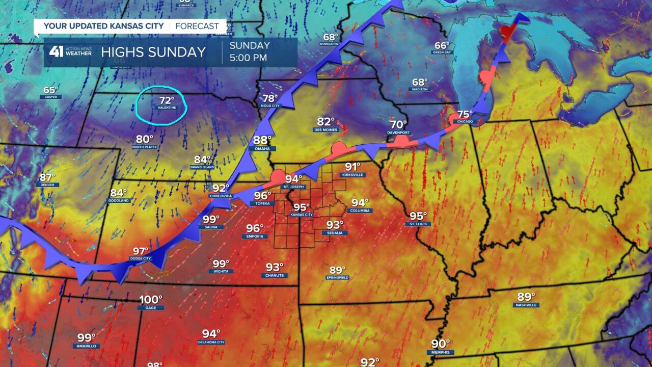
5 PM today the cold front will be marching east across the Plains. We will reach the mid 90s while it is in the 70s across northern Nebraska.
6 PM to 9 PM today will see scattered thunderstorms form along the front in our area. A few thunderstorms may contain hail and wind gusts 45-60 mph. The scattered thunderstorms will be around until midnight before they decrease and mostly fall apart after midnight. Some locations could see a quick 1" to 2" of rain while others don't see a drop.

MONDAY:
There will be a system behind the cold front Monday morning that will bring areas of light to moderate rain showers, mostly along and south of I-70. This could bring an additional trace to .25" of rain. There is a slight chance it is bit stronger. If it is, then a .25" to 1" of rain is possible. Temperatures in rain areas will be around 60!

The rain may not affect all locations, but the heat relief for sure will. Highs tomorrow will be in the 70s with lower humidity and afternoon sunshine. Take a look at the temperatures around I-44, 50s! This is due to the rain lasting all day down there. If it rains in KC all day we will see temperatures 58-65, but that is likely to not happen as the system moves southeast quickly. And, keep in mind, Monday is one of the longest daylight days of the year. So, any sun will jump us to the 70s. The average highs is 85.

If you do not receive the rain you need today and Monday. The next chances are Thursday and Friday. We will be talking about those chances the next few days.
Have a Happy Father's day and week ahead.
Stay healthy.
