


Good Friday bloggers,
We need the rain, which is no secret. There are also many outdoor events this weekend, including the Plaza Art Fair that starts at 5 p.m. today.
Well, maybe we can have our "cake and eat it, too."
Let's go through the forecast.
FRIDAY 10 A.M.:
Rain will be increasing, and there may be a few thunderstorms. Temperatures will be in the 50s. The wind will be southeast at 10-20 mph.

FRIDAY NOON:
This is when we will see the heaviest and most widespread rain.
This data has most of the rain along and south of Interstate 70. This is possible, but there may be more showers north and south of the main area than this data shows.
Temperatures will be in the 50s. The wind will be southeast at 10-20 mph.

FRIDAY 5 P.M.:
The rain will exit quickly around 2-4 p.m., and the sun has a decent chance to return this evening. If the sun comes out, we will see temperatures warm back up to 60°-65°.
The wind will be southeast at 10-20 mph.

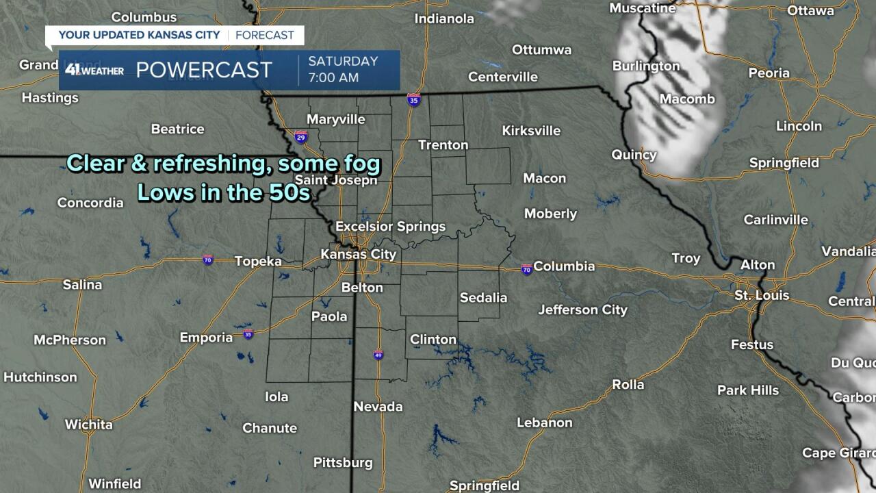
TONIGHT:
It will be clear and refreshing with lows in the 50s. The wind will decrease to SE at 5-10 mph.
This will set the stage for areas of fog, some dense.
SATURDAY:
Any fog will burn off fast, leading to a super Saturday of weather. Highs will be 80°-85° with a light wind and abundant sunshine.
A cold front will move through Saturday night with no rain and barely any clouds. This will set the stage for a super Sunday of weather.

SUNDAY:
We will have 100% sunshine with highs in the 70s. The wind will be northwest at 10-20 mph.

FRIDAY WEATHER SUMMARY:
The rain chances will increase between 7 a.m. and noon to 100%. Then, from noon to 3 p.m. the chances will drop to 50%, on the way down to 0% by 5 p.m.
So, the rain gets out of here just in time for Friday evening activities such as the Plaza Art Fair and Friday Night Lights.
Total rainfall will be .10" to .50".
Now, we need much more than .10"-.50", but it is better than nothing. We are now around 7" below average rain since June 1.


TROPICAL UPDATE:
The tropics are getting active after a very quiet season. We are tracking three systems.
1. Tropical Storm Gaston
This system will drift west across the north Atlantic Ocean as a tropical storm before dissipating early next week.
2. Hurricane Fiona
Fiona, as of early Friday morning, is a strong Category 3 hurricane. It is just west of Bermuda.
It will combine with a mid-latitude storm system making landfall in Nova Scotia, southeast Quebec and much of Newfoundland as a Superstorm Sandy-type storm this weekend. It could be one of their strongest storm systems ever!
3. Tropical Depression Nine
This is now forming in the Caribbean Sea and will likely become a tropical storm before it's upgraded to Hurricane Hermine over the weekend into early next week.
It will track west and then north to Cuba, then likely affecting Florida during the middle to end of next week. This will be the first mainland U.S. landfalling hurricane of the season.
The Chiefs are in Tampa next Sunday, Oct. 2, on KSHB 41. Could Hermine be an issue? We will follow this in the next several days.

Have a great weekend!
Stay healthy.
—
