

Good morning bloggers,
I hope you had a great weekend. Get ready for some wind today and it may gust over 50 mph. Hold onto your hats and get those trash cans tied down. Things are going to blow around a bit. Even though it has greened up, there is still a high fire danger today.

The black solid lines are lines of equal pressure. We call them isobars. When the isobars are close together the pressure gradient is strong and it results in high winds. The lines are forecast to be quite tight near KC this afternoon and we may see winds gusting over 50 mph, and 60 mph is not out of the question.

The winds will likely be at top speed around 4 to 6 PM this afternoon with those gusts over 50 mph likely in a few spots. At least it will warm up into the 70s today with a forecast high of near 74 degrees.
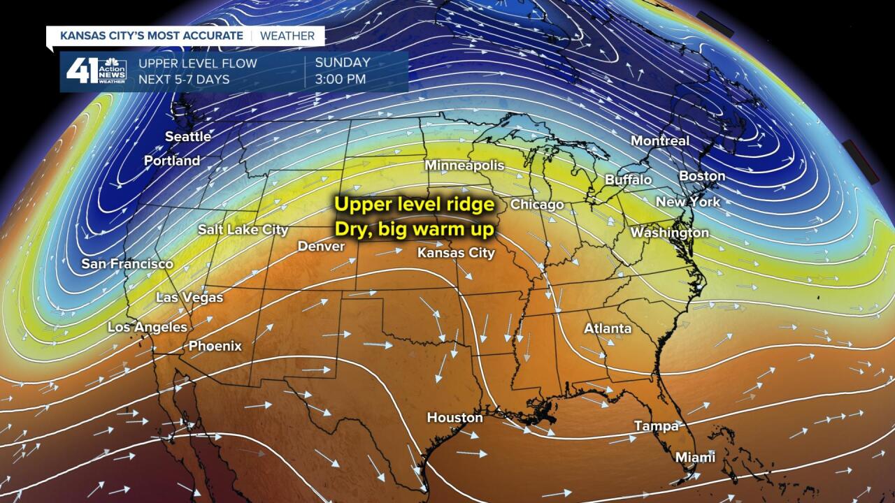
The pattern will shift a bit by mid-week and a strong cold front will blow through Tuesday. Temperatures will drop into the 40s and 50s tomorrow. A big ridge is forecast to form by the weekend, and this will lead to a very nice Easter weekend forecast.
While this ridge is building over the middle of the United States, look at what is forecast to form near Greenland:

That is a big upper level high just southeast of Greenland. It will be interesting in the next week. If it forms a bit farther north and west, like right over Greenland, then it becomes an impacting block. The trend on the models is for this to not quite happen. When it formed in February the Arctic air was forced to blast south and it dropped to nearly 25 degrees below zero. I don't think it is going to form farther north this time, and this will likely mean that the impacts will be small here.
Our last hard freeze of the season may very well come on Thursday morning. Here is your forecast time-line for KC:
- Today: High fire danger and a wind advisory. It will be sunny with winds gusting to nearly 50 mph, or even stronger in a few spots. High: 74°
- Tonight: Windy and mild. South winds 20 to 40 mph this evening tapering off to 20 mph by morning. Low: 50°
- Tuesday: The wind will shift to the northwest. It will be much colder. High; 55°
Here is a picture I took Saturday evening. I noticed that it looked like it was going to be a great sunset. Rainbow and Sunny The Weather Dogs quickly walked down to the Plaza, they posed, and I snapped this great shot.

Thank you for spending a few minutes of your day reading the Gabbing With Gary blog. Hold onto your hats today!
Gary
