Good Friday bloggers,
Today we are trading colder air for much, much less wind.
The peak wind gusts from Thursday were in the 40-50 mph range. St. Joseph had a 52 mph wind gust.
Highs were in the mid to upper 60s. So, today we will see highs in the mid to upper 40s, but with wind speeds around 5 mph.

What is next?
There is a storm system about 1000 miles north of Hawaii and 3300 miles west of KC that will be affecting our weather on the second day of 2023.

Here is the upper-level flow for Monday. The storm system now 3300 miles away will be about 800 miles to our west. This is close enough to bring a chance of rain and thunderstorms.
There is a Polar Vortex in pink to the right of the banner. It is disconnected from this storm system. Any snow from this storm will be mostly north of Interstate 80.

Let's go through the forecast as we turn the calendar to 2023.
TODAY:
There will be more sunshine this afternoon along with highs in the mid to upper 40s. This is 20 degrees colder than Thursday, but the wind will be around 5 mph, which is 40-50 mph less than Thursday.
Showers and a few thunderstorms will be found from the southeast U.S. to the Great Lakes.

NEW YEAR'S EVE:
It will be a nice last day of 2022. Highs will be 50°-55° along with a south to southeast breeze at 5-15 mph. There will be periods of clouds which means we will see sunshine at times.

During the evening to midnight into the early hours of 2023, the weather will be calm with temperatures in the 40s along with a light wind.
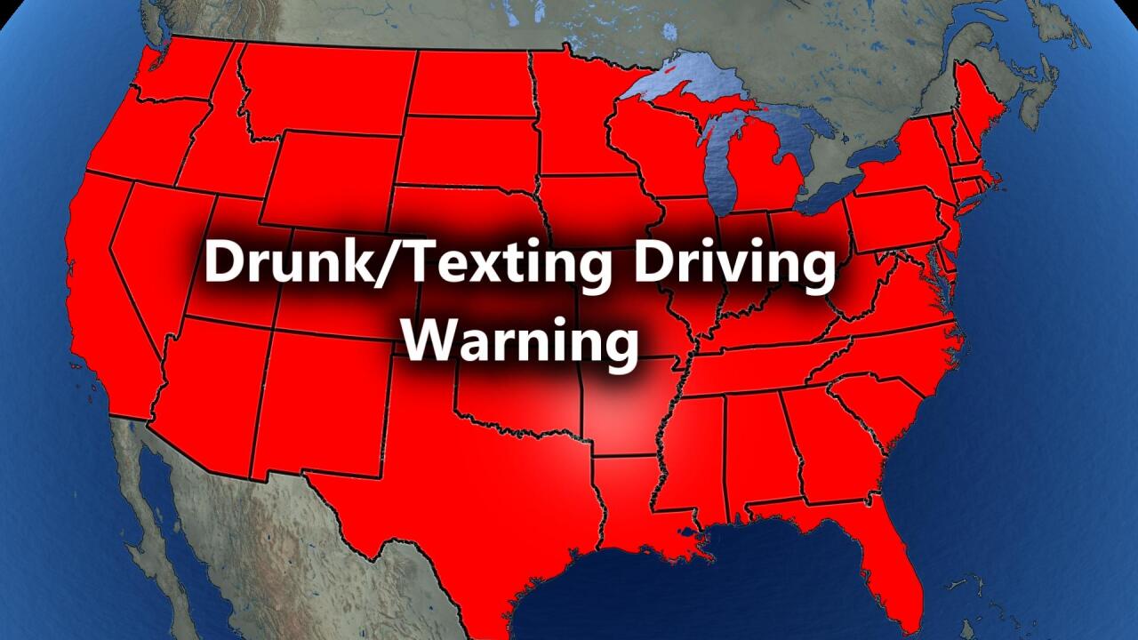
But, there is a DRUNK/TEXTING WHILE DRIVING WARNING. This is in memory of all those killed or injured in drunk/texting driving accidents. Nathan McDuffie lost his life over 30 years ago in a drunk-driving accident.
Please DO NOT DRINK/TEXT and drive on any day.

NEW YEAR'S DAY:
Lows will be 35°-40° on the way to highs in the mid to upper 50s. The wind will be light with periods of cirrus clouds so that the sun can shine through.
This means great weather for the Chiefs-Broncos game. Temperatures for tailgating will be in the 40s.

MONDAY:
This is the day we will be tracking the storm system now 3300 miles west of KC. Rain and a few thunderstorms will form along and east of Interstate 35 as snow falls from Colorado to western Nebraska to the northern Plains.
Some severe weather will be possible later Monday into Tuesday from around the Mississippi River and points east.
Highs will be around 60° with more wind from the south gusting 30-40 mph.
There is a different solution from the European model. See below.

RAINFALL FORECAST:
There is a difference between the American and European models. The image above is from the American model.
The American model has us on the western edge of the rain bringing us .10"-.50".
1"-2" of rain occurs along and south and east of Interstate 44. 2" to 7" of rain falls from Arkansas to Ohio.

The European model has a much slower and farther south solution for the storm. As a result, we are in the .50"-1" to 1"-2" rainfall total categories.
Which one is right? We are leaning with the American model solution, but it is not set yet.
If the Euro model is right, we could see the rain end as snow. That is how much different the solutions are at this time, just three days before the storm arrives.

Both sets of data agree that 7"-10" or more rain will fall in central and northern California. They do need it, but that may be a bit too much of a good thing.
Snow levels have been around 9000 feet above Lake Tahoe. The storm we are tracking will bring snow levels down much lower, meaning feet of snow for the ski resorts.

Have a happy and safe new year!
Stay healthy.


