

Good morning bloggers
We are going to track this snow moving in from the northwest. I will provide a radar update every two hours, so check back in often today. Save this link.
7:36 a.m. radar:

9 a.m. radar: There is a gradual increase in the snow way out west. The next update will be at 11:30 a.m.
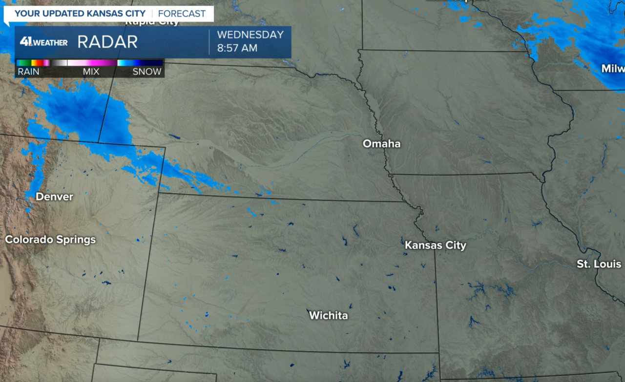
We have been getting some criticism on what has actually been pretty accurate weather forecasting. Now, getting the amount of snow predicted is always going to be the most difficult parameter to predict in weather. Just look at what we have at the moment on radar. There is an area of snow in Wyoming and it is beginning to expand into northern Colorado and southwestern Nebraska.
11:11 AM Radar: The snow is increasing northwest of KC
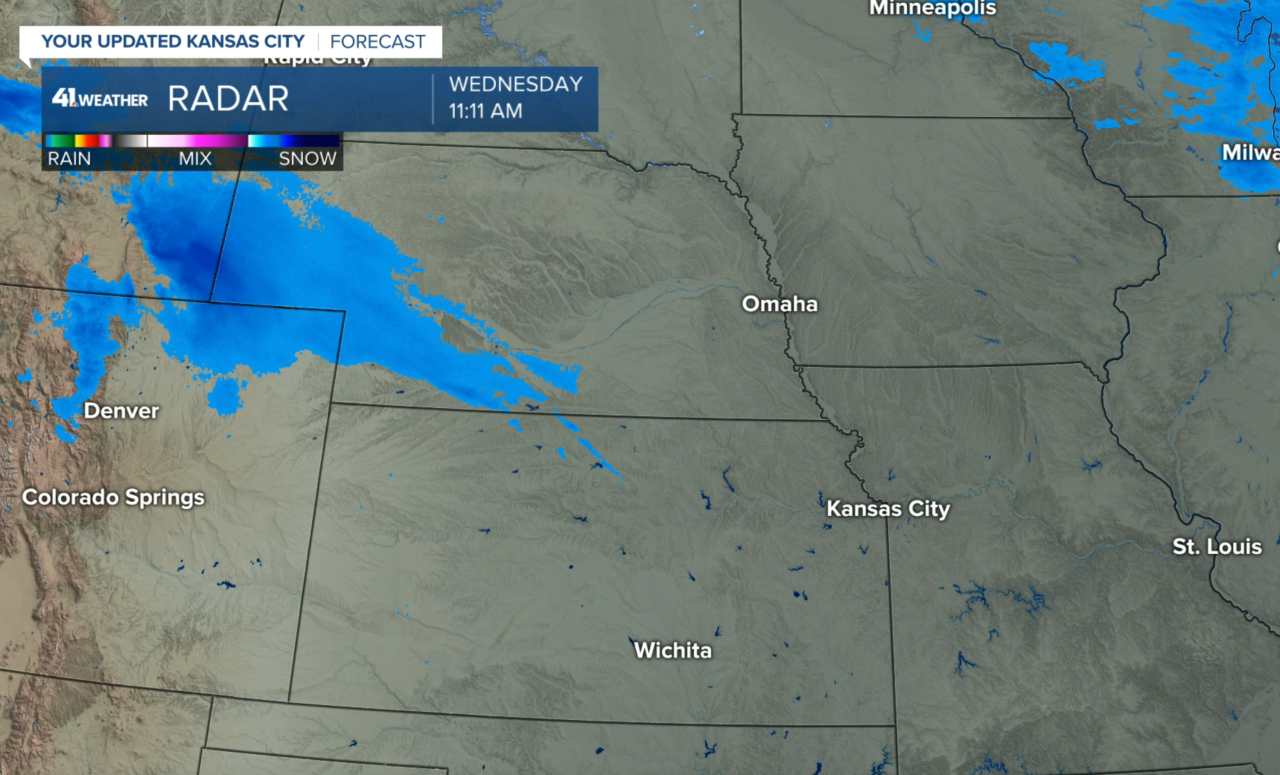
Look at those first three radar images. The new data continues to show this band taking aim on areas just southwest of KC tonight, but many of the models still show us in 1/2" to 1".
2:05 PM Update: There is an obvious increase in snow echoes and they are heading our way

We will now continue tracking this on KSHB-41 beginning at 4 PM. It looks like that snow forecast is on track from what I posted earlier this morning, as you can see below.
Predicting the amount of snow is always one of the most challenging things to forecast in meteorology? And when this is not really a storm system, and just a band of snow caused by jet dynamics, a very small little shift above us will either put us in that band, or shift it to the south or north. This next map shows the high level view of the snow forecast ending at 6 a.m.

Let's zoom into that thin band that just happens to be right over KC. As of this second, our forecast has shifted the snow a bit farther north into the KC metro area:

Remember, this is a very thin band of snow. It won't seem thin if you are living in the path of this band. Two inches or a bit more is possible right down the middle of this forecast band of snow. In the areas that have 1-2 inches, it will seem like a winter wonderland. And, areas just 25 to 50 miles away may only have a dusting or no snow at all.
So, if this model is correct, there may be just a few snowflakes, or completely dry north of that St. Joseph to Lathrop to Moberly line. If this tracks just a bit farther south, Kansas City would be on that line.

The Arctic Blast has arrived. Bundle up today! It will struggle to warm above the lower or middle 20s today with a wind chill between 0° and 10°.

Weather Forecast Timing:
The snow is still way out to the west. The band will be approaching our area and by sunset or just after we will be tracking this band in our viewing area during our newscasts on KSHB 41. The impacts for travel would begin between 7 and 10 p.m., and then the snow is long over by sunrise Thursday. This is just a fast moving band of snow that is now forming.
Thank you for sharing in this weather experience. Have a great day!
Gary
